el Pla de la Vallonga
el Pla de la Vallonga is a neighborhood in Alicante, Costa Blanca, Valencian Community and has about 129 residents. el Pla de la Vallonga is situated nearby to the locality lo Geperut, as well as near the neighborhood Urbanització El Geperut.| Tap on a place to explore it |
Places in the Area
Nearby places include Asis and Gran Via Sud.
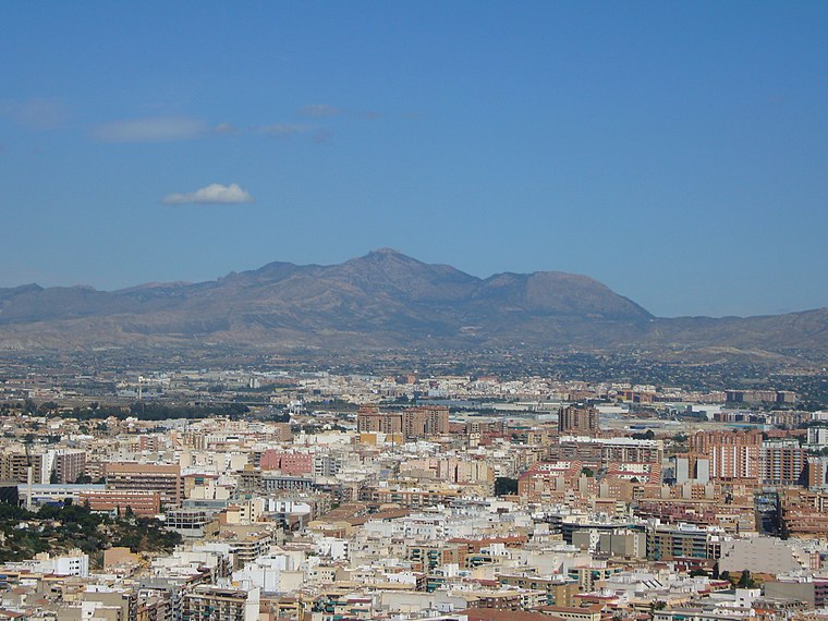
Asis
Neighborhood

Photo: Foundling, CC BY-SA 3.0.
Asis is a neighborhood, which is situated 7 km east of el Pla de la Vallonga.
Gran Via Sud
Neighborhood

Photo: Carlos Quesada, CC BY-SA 4.0.
Gran Via Sud is a neighborhood, which is situated 8 km east of el Pla de la Vallonga.
Sant Vicent del Raspeig/San Vicente del Raspeig
Town
 Sant Vicent del Raspeig or San Vicente del Raspeig, or simply Sant Vicent / San Vicente, is a municipality located in the comarca of Alacantí, in the province of Alicante, Spain, inside the conurbation of Alicante city. Sant Vicent del Raspeig/San Vicente del Raspeig is situated 9 km northeast of el Pla de la Vallonga.
el Pla de la Vallonga
- Type: Neighborhood with 129 residents
- Category: locality
- Location: Alicante, Costa Blanca, Alicante, Valencian Community, Eastern Spain, Spain, Iberia, Europe
- View on OpenStreetMap
Latitude
38.34016° or 38° 20′ 25″ northLongitude
-0.59568° or 0° 35′ 44″ westPopulation
129Elevation
101 metres (331 feet)Open location code
8CCX8CR3+3POpenStreetMap ID
node 2063695997OpenStreetMap feature
place=neighbourhood
This page is based on OpenStreetMap, Wikidata, and Wikimedia Commons.
We’d love your help improving our open data sources. Thank you for contributing.
Satellite Map
Discover el Pla de la Vallonga from above in high-definition satellite imagery.
In Other Languages
“el Pla de la Vallonga” goes by many names.
- Catalan: “el Pla de la Vallonga”
Localities in the Area
Explore places such as Vallonga and lo Geperut.
Notable Places Nearby
Highlights include Plaça de Diego Moya Martínez / Plaza de Diego Moya Martínez and Plaça de José Antonio Torá / Plaza José Antonio Torá.
Costa Blanca: Must-Visit Destinations
Delve into Elche, Benidorm, Torrevieja, and Dénia.
Curious Neighborhoods to Discover
Uncover intriguing neighborhoods from every corner of the globe.
About Mapcarta. Data © OpenStreetMap contributors and available under the Open Database License". Text is available under the CC BY-SA 4.0 license, except for photos, directions, and the map. Photo: sergiomas, CC BY 2.0.