Cary Close
Cary Close is a bus stop in Enborne, West Berkshire, England. Cary Close is situated nearby to the archaeological site Burial Mound, as well as near the park Wash Common Recreation Ground.| Tap on a place to explore it |
Places of Interest Nearby
Highlights include St George the Martyr Church and Park House School.
St George the Martyr Church
Church

Photo: Graham Horn, CC BY-SA 2.0.
St George the Martyr Church is situated 1,500 feet southeast of Cary Close.
Park House School
School
Park House School is a secondary school in Newbury, Berkshire in the United Kingdom. It accepts students aged 11–18 and currently has approximately 1,300 students on roll including a sixth form of around 300. Park House School is situated 1,700 feet southeast of Cary Close.
Newbury College
College

Photo: Steve Roberts, CC BY-SA 2.0.
Newbury College is a college of further education in the southern outskirts of Newbury, Berkshire, England, for anyone aged 16 or over. Newbury College is situated 1 mile east of Cary Close.
Places in the Area
Nearby places include Wash Common and Enborne Row.
Wash Common
Suburb

Photo: Michael Ford, CC BY-SA 2.0.
Wash Common is a small suburban village to the south of Newbury. It is built on the former Newbury Wash, which was flat open heathland overlooking Newbury, and until the 19th century there was just a small group of houses separated from Newbury by open country.
Enborne Row
Village

Photo: Pam Brophy, CC BY-SA 2.0.
Enborne Row is a hamlet in Berkshire, England, located on the county's border with Hampshire. The hamlet is within the civil parish of Enborne. The settlement lies next to the A34 road, and is located approximately 3 miles south-west of Newbury.
Newtown Common
Hamlet
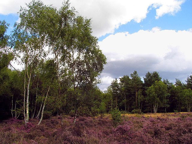
Photo: Pam Brophy, CC BY-SA 2.0.
Newtown Common is a village in the Basingstoke and Deane district of Hampshire, England. Its nearest town is Newbury, which lies approximately 2.5 miles north-east from the village.
Cary Close
- Type: Bus stop
- Category: transportation
- Location: Enborne, West Berkshire, England, United Kingdom, Britain and Ireland, Europe
- View on OpenStreetMap
Latitude
51.38255° or 51° 22′ 57″ northLongitude
-1.34619° or 1° 20′ 46″ westOpen location code
9C3W9MM3+2GOpenStreetMap ID
node 2092305691OpenStreetMap feature
highway=bus_stopOpenStreetMap feature
public_transport=platform
This page is based on OpenStreetMap, Wikidata, and Wikimedia Commons.
We’d love your help improving our open data sources. Thank you for contributing.
Satellite Map
Discover Cary Close from above in high-definition satellite imagery.
Places with the Same Name
Discover other places named “Cary Close”.
Notable Places Nearby
Highlights include Burial Mound and Wash Common Recreation Ground.
Nearby Places
Explore places such as Cary Close and Elizabeth Avenue Top.
England: Must-Visit Destinations
Delve into London, Manchester, Sheffield, and Leeds.
Curious Bus Stops to Discover
Uncover intriguing bus stops from every corner of the globe.
About Mapcarta. Data © OpenStreetMap contributors and available under the Open Database License". Text is available under the CC BY-SA 4.0 license, except for photos, directions, and the map. Photo: sidibousaid, CC BY 2.0.