Zum Kantenhof
Zum Kantenhof is a dwelling in Roth bei Prüm, Bitburg-Prüm, Rhineland-Palatinate. Zum Kantenhof is situated nearby to the peak Tuschet, as well as near Wilpert.| Tap on a place to explore it |
Places in the Area
Nearby places include Auw bei Prüm and Manderfeld.
Auw bei Prüm
Village

Photo: Bleuwer, CC BY-SA 3.0.
Auw bei Prüm is a municipality in the district of Bitburg-Prüm, in Rhineland-Palatinate, western Germany. Auw bei Prüm is situated 2½ km west of Zum Kantenhof.
Manderfeld
Village
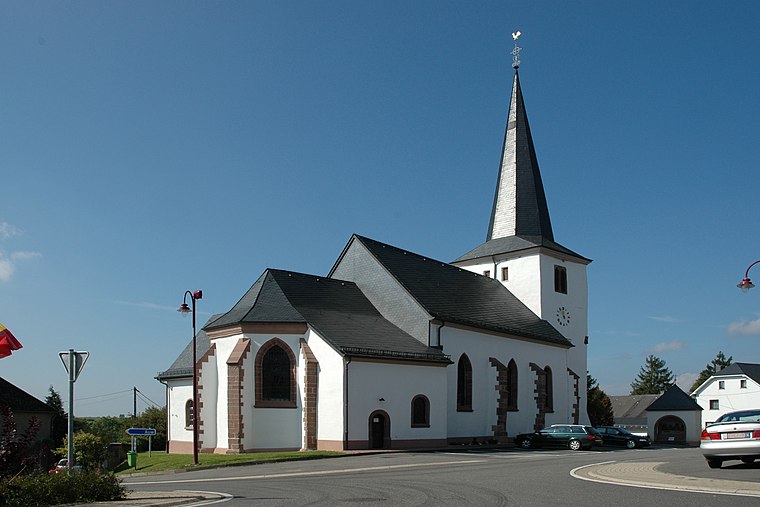
Photo: Wikoli, CC BY-SA 3.0.
Manderfeld is a village, which is situated 4 km northwest of Zum Kantenhof.
Ormont
Village

Photo: Thomas Hummel, CC BY-SA 4.0.
Ormont is an Ortsgemeinde situated in the Vulkaneifel district in Rhineland-Palatinate, Germany. It belongs to the Verbandsgemeinde of Gerolstein, whose seat is in the municipality of Gerolstein. Ormont is situated 6 km northeast of Zum Kantenhof.
Zum Kantenhof
- Type: Dwelling
- Categories: locality, residential building, and building
- Location: Roth bei Prüm, Bitburg-Prüm, Rhineland-Palatinate, Germany, Central Europe, Europe
- View on OpenStreetMap
Latitude
50.303° or 50° 18′ 11″ northLongitude
6.37265° or 6° 22′ 22″ eastOpen location code
9F28893F+53OpenStreetMap ID
node 2137422419OpenStreetMap feature
place=isolated_dwelling
This page is based on OpenStreetMap, Wikidata, and Wikimedia Commons.
We’d love your help improving our open data sources. Thank you for contributing.
Satellite Map
Discover Zum Kantenhof from above in high-definition satellite imagery.
Notable Places Nearby
Highlights include Freiwillige Feuerwehr Roth and Tuschet.
Nearby Places
Explore places such as Zum Kantenhof and Wanderparkplatz.
Rhineland-Palatinate: Must-Visit Destinations
Delve into Mainz, Trier, Koblenz, and Worms.
Curious Dwellings to Discover
Uncover intriguing dwellings from every corner of the globe.
About Mapcarta. Data © OpenStreetMap contributors and available under the Open Database License". Text is available under the CC BY-SA 4.0 license, except for photos, directions, and the map. Photo: Traveler100, CC BY-SA 3.0.