Irisch Pub Sport Cafe
Irisch Pub Sport Cafe is a pub in Yaiza, Las Palmas. Irisch Pub Sport Cafe is situated nearby to the recreation area Alpa Piñata Magica, as well as near the health club Baila Mania.| Tap on a place to explore it |
Places of Interest Nearby
Highlights include Castillo de las Coloradas and Papagayo Beach.
Castillo de las Coloradas
Castle

Photo: Stedewa, CC BY-SA 3.0 es.
Castillo de las Coloradas is a castle, which is situated 1¼ km southwest of Irisch Pub Sport Cafe.
Hacha Grande
Peak

Photo: Yummifruitbat, CC BY-SA 2.5.
Hacha Grande is a mountain on the Canary Island of Lanzarote, with an elevation of 562 m above sea level. Its name is Spanish meaning Large Axe. It is located in the municipality of Yaiza in the south-west of the island, near the resort of Playa Blanca and the Punta de Papagayo. Hacha Grande is situated 3½ km northeast of Irisch Pub Sport Cafe.
Places in the Area
Nearby places include Playa Blanca and La Degollada.
Playa Blanca

Photo: Donkey shot, CC BY-SA 3.0.
Playa Blanca is a beach resort and ferry port on the south coast of Lanzarote, some 50 km southwest of the capital Arrecife. It's part of the municipality of Yaiza, but with a population of 12,960 in 2021 it has far outgrown that village.
La Degollada
Hamlet

Photo: Wikimedia, CC BY-SA 3.0.
La Degollada is a hamlet, which is situated 8 km north of Irisch Pub Sport Cafe.
Irisch Pub Sport Cafe
- Type: Pub
- Location: Yaiza, Las Palmas, Lanzarote, Canary Islands, Spain, Iberia, Europe
- View on OpenStreetMap
Latitude
28.86063° or 28° 51′ 38″ northLongitude
-13.79945° or 13° 47′ 58″ westOpen location code
7CW8V662+76OpenStreetMap ID
node 2146683090OpenStreetMap feature
amenity=pub
This page is based on OpenStreetMap, Wikidata, and Wikimedia Commons.
We’d love your help improving our open data sources. Thank you for contributing.
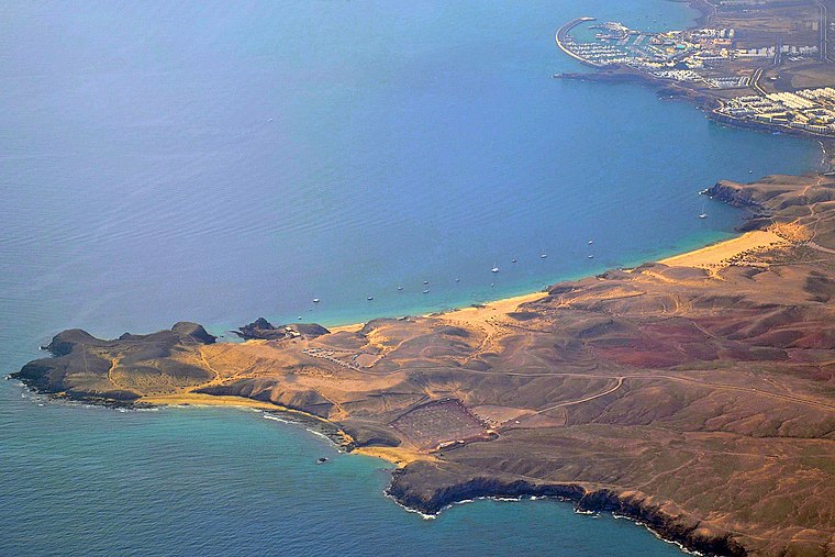
Satellite Map
Discover Irisch Pub Sport Cafe from above in high-definition satellite imagery.
Notable Places Nearby
Highlights include Alpa Piñata Magica and Baila Mania.
Nearby Places
Explore places such as EMotion Fat Bikes and El Pueblo Las Coloradas.
Lanzarote: Must-Visit Destinations
Delve into Arrecife, Teguise, Haría, and San Bartolomé.
Curious Pubs to Discover
Uncover intriguing pubs from every corner of the globe.
About Mapcarta. Data © OpenStreetMap contributors and available under the Open Database License". Text is available under the CC BY-SA 4.0 license, except for photos, directions, and the map. Photo: Nailemfa, CC BY 4.0.