Ruski Koniec
Ruski Koniec is a hamlet in Podkarpackie, Poland. Ruski Koniec is situated nearby to the hamlet Polski Koniec, as well as near Mielniki.| Tap on a place to explore it |
Places of Interest
Highlights include Saint Nicholas church in Kuryłówka and Kościół pw. Świętego Józefa.
Kościół pw. Świętego Józefa
Church
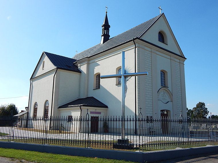
Photo: Sashabrava, CC BY-SA 4.0.
Kościół pw. Świętego Józefa is a church.
St. Michael the Archangel’s Church, Kulno
Church

Photo: Daniel.zolopa, CC BY-SA 3.0.
St. Michael the Archangel's Church, or St. Maximilian Kolbe's Church, is a religious building in Kulno, jointly used by the Orthodox Parish of the Holy Trinity in Tarnogród, within the Zamość Deanery of the Diocese of Lublin and Chełm of the Polish Orthodox Church, and the Parish of St. St. Michael the Archangel’s Church, Kulno is situated 3½ km northeast of Ruski Koniec.
Places in the Area
Nearby places include Kuryłówka and Stare Miasto.
Kuryłówka
Village

Photo: Daniel.zolopa, CC BY-SA 3.0 pl.
Kuryłówka is a village in Leżajsk County, Subcarpathian Voivodeship, in south-eastern Poland. It is the seat of the gmina called Gmina Kuryłówka. It lies on the navigable San River, approximately 5 km north-east of Leżajsk and 44 km north-east of the regional capital Rzeszów.
Stare Miasto
Village

Photo: Daniel.zolopa, CC BY-SA 3.0 pl.
Stare Miasto is a village in the administrative district of Gmina Leżajsk, within Leżajsk County, Subcarpathian Voivodeship, in south-eastern Poland. It lies approximately 3 km north-west of Leżajsk and 41 km north-east of the regional capital Rzeszów. Stare Miasto is situated 3 km southwest of Ruski Koniec.
Kulno
Village
Photo: Daniel.zolopa, CC BY-SA 3.0.
Kulno is a village in the administrative district of Gmina Kuryłówka, within Leżajsk County, Subcarpathian Voivodeship, in south-eastern Poland. It lies approximately 5 km north of Kuryłówka, 9 km north-east of Leżajsk, and 48 km north-east of the regional capital Rzeszów. Kulno is situated 3 km northeast of Ruski Koniec.
Ruski Koniec
- Type: Hamlet
- Category: locality
- Location: Podkarpackie, Poland, Central Europe, Europe
- View on OpenStreetMap
Latitude
50.30971° or 50° 18′ 35″ northLongitude
22.46013° or 22° 27′ 37″ eastOpen location code
9G248F56+V3OpenStreetMap ID
node 2155000739OpenStreetMap feature
place=hamlet
This page is based on OpenStreetMap, Wikidata, and Wikimedia Commons.
We’d love your help improving our open data sources. Thank you for contributing.
Satellite Map
Discover Ruski Koniec from above in high-definition satellite imagery.
Localities in the Area
Explore places such as Polski Koniec and Mielniki.
Notable Places Nearby
Highlights include Urząd Gminy and Gminny Ośrodek Kultury.
Podkarpackie: Must-Visit Destinations
Delve into Rzeszów, Tarnobrzeg, Przemyśl, and Sanok.
Curious Hamlets to Discover
Uncover intriguing hamlets from every corner of the globe.
About Mapcarta. Data © OpenStreetMap contributors and available under the Open Database License". Text is available under the CC BY-SA 4.0 license, except for photos, directions, and the map. Photo: Sicherlich, CC BY 3.0.