Bank Farm
Bank Farm is a farm in Timberland, North Kesteven, England. Bank Farm is situated nearby to Abbey Farm Irrigation Reservoir, as well as near the forest Harbour Wood.| Tap on a place to explore it |
Places of Interest Nearby
Highlights include Tattershall Castle and St Leonard’s Without.
Tattershall Castle

Photo: Brian, CC BY-SA 2.0.
Tattershall Castle is a castle in Tattershall, Lincolnshire, England. Since 1925 it has been in the care of the National Trust. Tattershall Castle is situated 2 miles southeast of Bank Farm.
St Leonard’s Without
Church

Photo: Plague of Death, Public domain.
The church of St Leonard's Without is a small chapel built between 1230 and 1240 in the parish of Kirkstead, Lincolnshire, close to Woodhall Spa. The chapel lies close to the now-ruined Kirkstead Abbey founded in 1139. St Leonard’s Without is situated 1 mile north of Bank Farm.
Thorpe Camp
Museum

Photo: Richard Croft, CC BY-SA 2.0.
Thorpe Camp, officially known as the Thorpe Camp Visitor Centre, is the former Royal Air Force barracks for RAF Woodhall Spa. It is 2.5 miles southeast of the site of RAF Woodhall Spa, in the civil parish of Tattershall Thorpe. Thorpe Camp is situated 2 miles east of Bank Farm.
Places in the Area
Nearby places include Kirkstead and Tattershall.
Kirkstead
Hamlet

Photo: David Wright, CC BY-SA 2.0.
Kirkstead is a village and former civil parish now in the parish of Woodhall Spa, in the East Lindsey district, in Lincolnshire, England, on the River Witham.
Tattershall
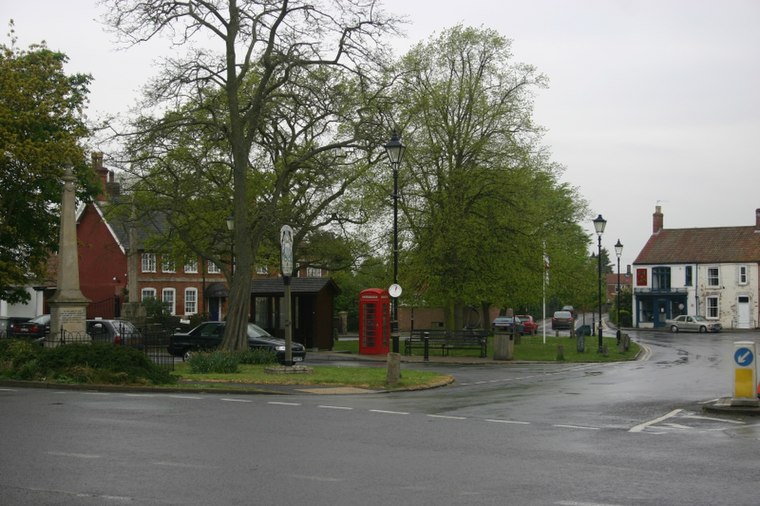
Photo: MortimerCat, CC BY 3.0.
Tattershall is in Lincolnshire. Village historic sites include the church of the Holy Trinity, a buttercross, Tattershall Castle, Collegiate College, and Tom Thumb's house and grave.
Billinghay
Village

Photo: Andrew Hill, CC BY-SA 2.0.
Billinghay is a village and civil parish in the North Kesteven district of Lincolnshire, England. The village is situated approximately 7 miles north-east from Sleaford, and lies on the B1189 Walcott road near its junction with the A153. Billinghay is situated 3½ miles southwest of Bank Farm.
Bank Farm
- Type: Farm
- Categories: locality and agriculture
- Location: Timberland, North Kesteven, Lincolnshire, East Midlands, England, United Kingdom, Britain and Ireland, Europe
- View on OpenStreetMap
Latitude
53.12249° or 53° 7′ 21″ northLongitude
-0.2262° or 0° 13′ 34″ westOpen location code
9C5X4QCF+XGOpenStreetMap ID
node 2169711988OpenStreetMap feature
place=farm
This page is based on OpenStreetMap, Wikidata, and Wikimedia Commons.
We’d love your help improving our open data sources. Thank you for contributing.
Satellite Map
Discover Bank Farm from above in high-definition satellite imagery.
Places with the Same Name
Discover other places named “Bank Farm”.
Notable Places Nearby
Highlights include Old Abbey Farmhouse and Abbey Farm Irrigation Reservoir.
Nearby Places
Explore places such as Willow Tree Farm and Tonge Farm.
Lincolnshire: Must-Visit Destinations
Delve into Lincoln, Grimsby, Scunthorpe, and Stamford.
Curious Farms to Discover
Uncover intriguing farms from every corner of the globe.
About Mapcarta. Data © OpenStreetMap contributors and available under the Open Database License". Text is available under the CC BY-SA 4.0 license, except for photos, directions, and the map. Photo: Wikimedia, CC0.