Torre San Patricio
Torre San Patricio is a building in Lomas de Zamora Partido, Buenos Aires. Torre San Patricio is situated nearby to the health club Evolution Fitness Training, as well as near the park Plaza Comandante Tomás Espora.| Tap on a place to explore it |
Places of Interest Nearby
Highlights include Temperley train station and Lomas de Zamora train station.
Temperley train station
Railway station
 Temperley train station is a railway station, which is situated 220 metres southeast of Torre San Patricio.
Lomas de Zamora train station
Railway station

Photo: Banfield, CC BY-SA 2.5 ar.
Lomas de Zamora train station is a railway station, which is situated 1½ km north of Torre San Patricio.
Cathedral Basilica of Our Lady of Peace
Church
 The Cathedral Basilica of Our Lady of Peace, also called Lomas de Zamora Cathedral is a Catholic church located in the central square of the city of Lomas de Zamora, in Argentina under the patronage of Our Lady of Peace. Cathedral Basilica of Our Lady of Peace is situated 2 km north of Torre San Patricio.
Places in the Area
Nearby places include Turdera and Adrogué.
Turdera
Village

Photo: EzequielEsposito, CC BY-SA 4.0.
Turdera is a small district of Lomas de Zamora Partido in Buenos Aires Province, Argentina. It forms part of the urban conurbation of Greater Buenos Aires.
Adrogué

Photo: Hurfer, CC BY-SA 4.0.
Adrogué is a city in Greater Buenos Aires, Argentina, located 23 km south of Buenos Aires. It is the administrative headquarters for Almirante Brown Partido.
José Mármol
Town
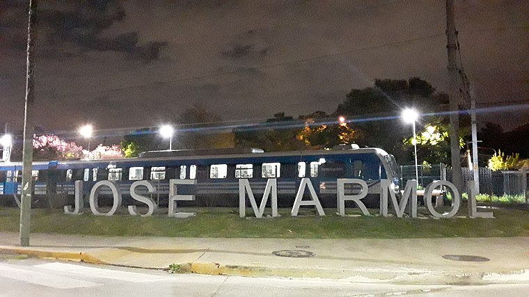
Photo: Ceci Pinto 2020, CC BY-SA 4.0.
José Marmol is a city in Greater Buenos Aires, Argentina, located 25 km south of Buenos Aires. It belongs to the Almirante Brown Partido. It has 5.14 km2, thus occupying 3.97% of the district. José Mármol is situated 3 km southeast of Torre San Patricio.
Torre San Patricio
- Type: Building
- Location: Lomas de Zamora Partido, Buenos Aires, Pampas, Argentina, South America
- View on OpenStreetMap
Latitude
-34.7751° or 34° 46′ 30″ southLongitude
-58.39821° or 58° 23′ 54″ westOpen location code
48Q36JF2+XPOpenStreetMap ID
node 2174219431OpenStreetMap feature
building=yes
This page is based on OpenStreetMap, Wikidata, and Wikimedia Commons.
We’d love your help improving our open data sources. Thank you for contributing.
Satellite Map
Discover Torre San Patricio from above in high-definition satellite imagery.
Notable Places Nearby
Highlights include Evolution Fitness Training and Plaza Comandante Tomás Espora.
Nearby Places
Explore places such as Finisterre and Café Bicentenario.
Buenos Aires: Must-Visit Destinations
Delve into Buenos Aires, La Plata, Mar del Plata, and Centro.
Curious Buildings to Discover
Uncover intriguing buildings from every corner of the globe.
About Mapcarta. Data © OpenStreetMap contributors and available under the Open Database License". Text is available under the CC BY-SA 4.0 license, except for photos, directions, and the map. Photo: Mbusin, CC BY-SA 4.0.