Harrowden Lane
Harrowden Lane is a bus stop in Eastcotts, Bedford, England. Harrowden Lane is situated nearby to Shortstown Post Office, as well as near Shortstown Primary School.| Tap on a place to explore it |
Places of Interest Nearby
Highlights include Fenlake Meadows and Parish Church of St Mary the Virgin, Cardington.
Fenlake Meadows
Nature reserve
Fenlake Meadows is a 19.2 hectare Local Nature Reserve located in the Kingsbrook area of Bedford. It is owned and managed by Bedford Borough Council. This site is in a river valley on the bank of the River Great Ouse, and it is often wet and waterlogged.
Parish Church of St Mary the Virgin, Cardington
Church

Photo: Ian Capper, CC BY-SA 2.0.
Parish Church of St Mary the Virgin, Cardington is situated 1 mile east of Harrowden Lane.
The Kings Arms Public House
Pub

Photo: Ian Capper, CC BY-SA 2.0.
The Kings Arms Public House is situated 1 mile east of Harrowden Lane.
Places in the Area
Nearby places include Harrowden and Shortstown.
Harrowden
Hamlet

Photo: Mr Biz, CC BY-SA 2.0.
Harrowden is a one-street hamlet in the civil parish of Shortstown, Bedfordshire, England. The street runs from east to west parallel and to the south of the A421 Bedford Southern Bypass, and 200 metres to the north of the village of Shortstown.
Shortstown
Village

Photo: G1MFG, Public domain.
Shortstown is a village and civil parish on the outskirts of Bedford, on a ridge above the River Great Ouse, originally called Tinkers Hill. The ridge overlooks Harrowden to the north and Cotton End to the south.
Cardington
Village
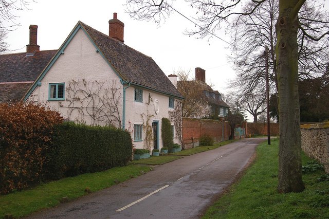
Photo: Ian Capper, CC BY-SA 2.0.
Cardington is a village and civil parish in the Borough of Bedford in Bedfordshire, England. Part of the ancient hundred of Wixamtree, the settlement is best known in connection with the Cardington airship works founded by Short Brothers during World War I, which later became an RAF training station.
Harrowden Lane
- Type: Bus stop
- Category: transportation
- Location: Eastcotts, Bedford, England, United Kingdom, Britain and Ireland, Europe
- View on OpenStreetMap
Latitude
52.11432° or 52° 6′ 52″ northLongitude
-0.4338° or 0° 26′ 2″ westOpen location code
9C4X4H78+PFOpenStreetMap ID
node 2223429918OpenStreetMap feature
highway=bus_stopOpenStreetMap feature
public_transport=platform
This page is based on OpenStreetMap, Wikidata, and Wikimedia Commons.
We’d love your help improving our open data sources. Thank you for contributing.
Satellite Map
Discover Harrowden Lane from above in high-definition satellite imagery.
Notable Places Nearby
Highlights include Shortstown Post Office and Shortstown Primary School.
Nearby Places
Explore places such as Shortstown Food Bar and Tesco Express.
England: Must-Visit Destinations
Delve into London, Manchester, Sheffield, and Leeds.
Curious Bus Stops to Discover
Uncover intriguing bus stops from every corner of the globe.
About Mapcarta. Data © OpenStreetMap contributors and available under the Open Database License". Text is available under the CC BY-SA 4.0 license, except for photos, directions, and the map. Photo: AlasdairW, CC BY-SA 3.0.