Halles Balard
Halles Balard is a greengrocer in Paris, Île-de-France. Halles Balard is situated nearby to the metro station Balard station, as well as near the bike rental Place Balard.| Tap on a place to explore it |
- Email: leshallesbalard@gmail.com
- Type: Greengrocer
- Cuisine: salad
Places of Interest Nearby
Highlights include Balard station and Hôpital Européen Georges-Pompidou.
Balard station
Metro station

Photo: Greenski, CC BY-SA 3.0.
Balard is the southwestern terminus of Line 8 of the Paris Métro in the 15th arrondissement of Paris. Since 16 December 2006, it has also been a stop on tramway T3a as part of the initial section of the line between Pont du Garigliano and Porte d'Ivry.
Hôpital Européen Georges-Pompidou
Hospital

Photo: KoS, Public domain.
The Hôpital Européen Georges-Pompidou is a French hospital located in Paris. The HEGP is under the aegis of the Assistance publique - Hôpitaux de Paris. Hôpital Européen Georges-Pompidou is situated 380 metres northwest of Halles Balard.
Jardin Eugénie-Djendi
Park

Photo: Chabe01, CC BY-SA 4.0.
Jardin Eugénie-Djendi is a park, which is situated 170 metres northwest of Halles Balard.
Places in the Area
Nearby places include Porte de Sèvres and Porte du Bas-Meudon.

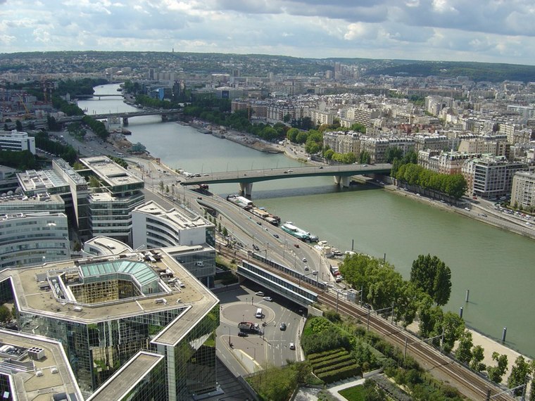
15th arrondissement

Photo: Jean-François Gornet, CC BY-SA 2.0.
The 15th arrondissement of Paris is in the city's southwest on the Left Bank of the Seine. Quite up-market and quiet, it is the largest arrondissement by both area and population.
Halles Balard
- Categories: shop, fast food restaurant, and food
- Location: Paris, Île-de-France, France, Europe
- View on OpenStreetMap
Latitude
48.83711° or 48° 50′ 14″ northLongitude
2.27847° or 2° 16′ 43″ eastOpen location code
8FW4R7PH+R9OpenStreetMap ID
node 2255824680OpenStreetMap feature
amenity=fast_foodOpenStreetMap feature
shop=greengrocerOpenStreetMap attribute
cuisine=salad
This page is based on OpenStreetMap, Wikidata, and Wikimedia Commons.
We’d love your help improving our open data sources. Thank you for contributing.
Satellite Map
Discover Halles Balard from above in high-definition satellite imagery.
Notable Places Nearby
Highlights include Place Balard and Les fortifications.
Nearby Places
Explore places such as La cave du Terminus and Pizza Boticelli.
Paris: Must-Visit Destinations
Delve into La Défense, 1st arrondissement, 7th arrondissement, and 2nd arrondissement.
Curious Greengrocers to Discover
Uncover intriguing greengrocers from every corner of the globe.
About Mapcarta. Data © OpenStreetMap contributors and available under the Open Database License". Text is available under the CC BY-SA 4.0 license, except for photos, directions, and the map. Photo: Benh, CC BY-SA 4.0.