Preston Hill
Preston Hill is a peak in Shoreham, Sevenoaks, England. Preston Hill is situated nearby to the locality Gold Hill, as well as near White Hill.| Tap on a place to explore it |
Places of Interest
Highlights include Shoreham (Kent) Railway Station and Lullingstone Roman Villa.
Shoreham (Kent) Railway Station
Railway station
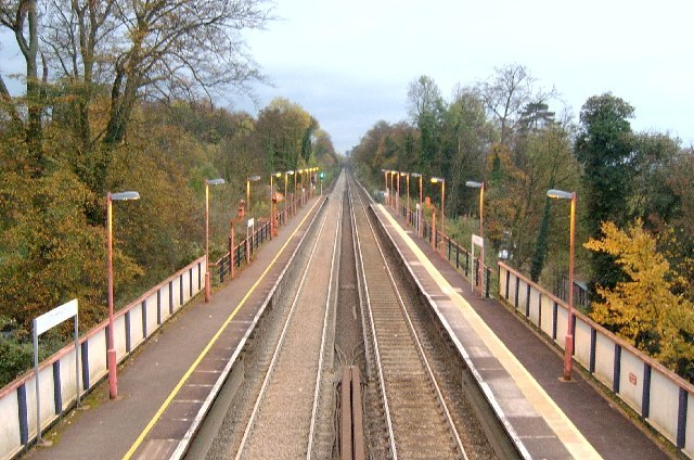
Photo: Edward, CC BY-SA 2.0.
Shoreham railway station serves Shoreham in Kent, England. It is 22 miles 52 chains down the line from London Victoria and is situated between Eynsford and Otford. Train services are provided by Thameslink.
Lullingstone Roman Villa

Photo: Wikimedia, CC BY-SA 3.0.
Lullingstone Roman Villa is a villa built during the Roman occupation of Britain, situated in Lullingstone near the village of Eynsford in Kent, south-eastern England.
Eynsford railway station
Railway station

Photo: Richard Nevell (WMUK), CC BY-SA 4.0.
Eynsford railway station serves Eynsford in Kent, England. It is 20 miles 32 chains down the line from London Victoria and is situated between Swanley and Shoreham. Train services are provided by Thameslink.
Places in the Area
Nearby places include Eynsford and Chelsfield.
Eynsford

Photo: Oast House Archive, CC BY-SA 2.0.
Eynsford is a village of 1,800 people in Kent. The village is near Brands Hatch – a race track in Kent, most famous for its circuit. It has grown from a modest natural amphitheatre used for local races in the 1920s into one of the UK’s major motor racing circuits.
Chelsfield
Village
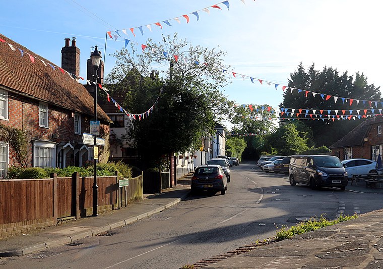
Photo: Braveheart, CC BY-SA 4.0.
Chelsfield is an area in southeast London, England, within the London Borough of Bromley and, prior to 1965, in the historic county of Kent. It lies south of Goddington, west of Well Hill, north of Pratt's Bottom and east of Green Street Green.
Shoreham
Village

Photo: Nigel Freeman, CC BY-SA 2.0.
Shoreham is a village and civil parish in the Sevenoaks District of Kent, England. It is located 5.2 miles north of Sevenoaks. The probable derivation of the name is estate at the foot of a steep slope.
Preston Hill
- Type: Peak
- Category: landform
- Location: Shoreham, Sevenoaks, Kent, South East England, England, United Kingdom, Britain and Ireland, Europe
- View on OpenStreetMap
Latitude
51.3398° or 51° 20′ 23″ northLongitude
0.2021° or 0° 12′ 7″ eastOpen location code
9F3286Q2+WROpenStreetMap ID
node 2305694462OpenStreetMap feature
natural=peak
This page is based on OpenStreetMap, Wikidata, and Wikimedia Commons.
We’d love your help improving our open data sources. Thank you for contributing.
Satellite Map
Discover Preston Hill from above in high-definition satellite imagery.
Places with the Same Name
Discover other places named “Preston Hill”.
Localities in the Area
Explore places such as Gold Hill and White Hill.
Notable Places Nearby
Highlights include Preston Hill Plantation and Dunstall Priory.
Kent: Must-Visit Destinations
Delve into Canterbury, Dover, Maidstone, and Rochester.
Curious Peaks to Discover
Uncover intriguing peaks from every corner of the globe.
About Mapcarta. Data © OpenStreetMap contributors and available under the Open Database License". Text is available under the CC BY-SA 4.0 license, except for photos, directions, and the map. Photo: Diliff, CC BY-SA 3.0.