Hoefftgasse
Hoefftgasse is a bus stop in Gemeindebezirk Simmering, Vienna. Hoefftgasse is situated nearby to the tram stop Wien Valiergasse, as well as near the post office Post Filiale 1114.| Tap on a place to explore it |
Places of Interest Nearby
Highlights include Pfarrkirche St. Benedikt am Leberberg and Weißes Kreuz, Kaiserebersdorf.
Pfarrkirche St. Benedikt am Leberberg
Church
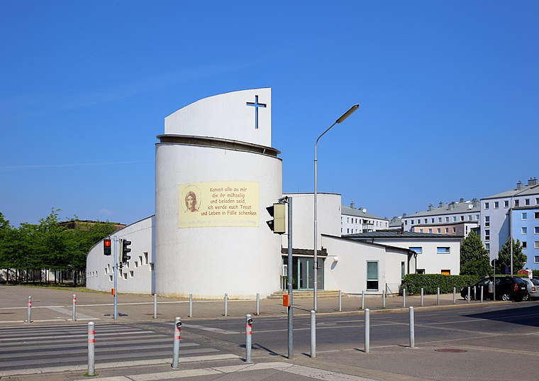
Photo: Bwag, CC BY-SA 4.0.
Pfarrkirche St. Benedikt am Leberberg is a church, which is situated 340 metres west of Hoefftgasse.
Weißes Kreuz, Kaiserebersdorf
Memorial

Photo: Hexarion, CC BY-SA 3.0 at.
Weißes Kreuz, Kaiserebersdorf is a memorial, which is situated 200 metres southwest of Hoefftgasse.

Places in the Area
Nearby places include Schwechat and Mannswörth.
Schwechat
Town

Photo: Bwag, CC BY-SA 4.0.
Schwechat is a city southeast of Vienna known for the Vienna International Airport and Schwechater beer. The city is home to the refineries of the Austrian national oil company OMV.
Mannswörth
Suburb

Photo: Bwag, CC BY-SA 4.0.
Mannswörth is a suburb, which is situated 4 km east of Hoefftgasse.
Zwölfaxing
Village
Zwölfaxing is a municipality in the district of Bruck an der Leitha in the Austrian state of Lower Austria. Zwölfaxing is situated 5 km south of Hoefftgasse.
Hoefftgasse
- Type: Bus stop
- Categories: transport stop and transportation
- Location: Gemeindebezirk Simmering, Vienna, Austria, Central Europe, Europe
- View on OpenStreetMap
Latitude
48.156° or 48° 9′ 22″ northLongitude
16.46813° or 16° 28′ 5″ eastNetwork
Verkehrsverbund Ost-RegionOpen location code
8FWR5F49+97OpenStreetMap ID
node 2322972952OpenStreetMap feature
highway=bus_stopOpenStreetMap feature
public_transport=stop_position
This page is based on OpenStreetMap, Wikidata, and Wikimedia Commons.
We’d love your help improving our open data sources. Thank you for contributing.
Satellite Map
Discover Hoefftgasse from above in high-definition satellite imagery.
Places with the Same Name
Discover other places named “Hoefftgasse”.
Notable Places Nearby
Highlights include Wien Valiergasse and Post Filiale 1114.
Nearby Places
Explore places such as Valiergasse and Imbiss Alischer.
Vienna: Must-Visit Destinations
Delve into Innere Stadt, Vienna International Airport, Inner East, and Alsergrund.
Curious Bus Stops to Discover
Uncover intriguing bus stops from every corner of the globe.
About Mapcarta. Data © OpenStreetMap contributors and available under the Open Database License". Text is available under the CC BY-SA 4.0 license, except for photos, directions, and the map. Photo: Jebulon, CC0.