Stoke West & Oakhill Community Association
Stoke West & Oakhill Community Association is in Stoke-on-Trent, England. Stoke West & Oakhill Community Association is situated nearby to the protected area The Villas, as well as near The West End Methodist Church.| Tap on a place to explore it |
Places of Interest Nearby
Highlights include Britannia Stadium and Stoke-on-Trent Railway Station.
Britannia Stadium
Stadium

Photo: State22, CC BY-SA 3.0.
The bet365 Stadium is an all-seater football stadium in Stoke-on-Trent, Staffordshire, England and the home of EFL Championship club Stoke City. The stadium was previously called the Britannia Stadium but was renamed on 1 June 2016 when the club entered into a new stadium-naming-rights agreement with its parent company, Bet365. Britannia Stadium is situated 1 mile southeast of Stoke West & Oakhill Community Association.
Stoke-on-Trent Railway Station
Railway station
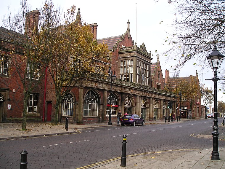
Photo: NoelWalley, CC BY-SA 3.0.
Stoke-on-Trent railway station is a mainline railway station serving the city of Stoke-on-Trent, on the Stafford to Manchester branch of the West Coast Main Line. Stoke-on-Trent Railway Station is situated 1 mile northeast of Stoke West & Oakhill Community Association.
Spode Museum
Museum
The Spode Museum is based in Stoke-on-Trent, England, where Josiah Spode, known for his role in the Industrial Revolution, established his pottery business in 1774. Spode Museum is situated 3,300 feet north of Stoke West & Oakhill Community Association.
Places in the Area
Nearby places include Stoke-upon-Trent and Shelton.
Stoke-upon-Trent
Town
Photo: NoelWalley, CC BY-SA 3.0.
Stoke-upon-Trent, also known as Stoke, is one of the six towns that along with Hanley, Burslem, Fenton, Longton and Tunstall form the city of Stoke-on-Trent, in Staffordshire, England.
Shelton
Suburb
Shelton is an area of the city of Stoke-on-Trent in Staffordshire, England, between Hanley and Stoke-upon-Trent.
Fenton
Town
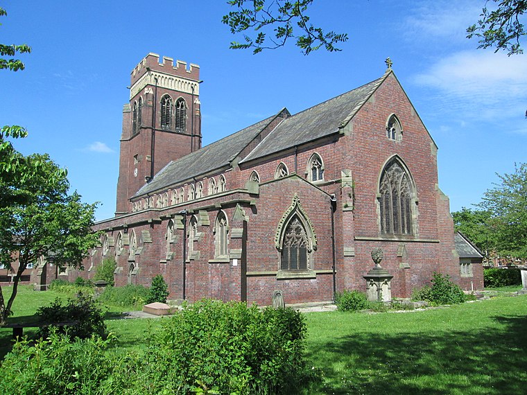
Photo: AtticTapestry, CC BY-SA 4.0.
Fenton is one of the six towns that amalgamated with Hanley, Tunstall, Burslem, Longton and Stoke-upon-Trent to form the county borough of Stoke-on-Trent in 1910, later raised to city status in 1925.
Stoke West & Oakhill Community Association
- Type: Information
- Category: tourism
- Location: Stoke-on-Trent, England, United Kingdom, Britain and Ireland, Europe
- View on OpenStreetMap
Latitude
52.99683° or 52° 59′ 49″ northLongitude
-2.19057° or 2° 11′ 26″ westOpen location code
9C4VXRW5+PQOpenStreetMap ID
node 2327539630OpenStreetMap feature
tourism=information
This page is based on OpenStreetMap, Wikidata, and Wikimedia Commons.
We’d love your help improving our open data sources. Thank you for contributing.
Satellite Map
Discover Stoke West & Oakhill Community Association from above in high-definition satellite imagery.
Notable Places Nearby
Highlights include The Villas and The West End Methodist Church.
Nearby Places
Explore places such as The Villas and Boothen Neighbourhood Centre.
England: Must-Visit Destinations
Delve into London, Manchester, Sheffield, and Leeds.
Curious Places to Discover
Uncover intriguing places from every corner of the globe.
About Mapcarta. Data © OpenStreetMap contributors and available under the Open Database License". Text is available under the CC BY-SA 4.0 license, except for photos, directions, and the map. Photo: Leereyno, CC BY-SA 3.0.