Dige Lavpris
Dige Lavpris is a supermarket in Morsø Municipality, North Jutland. Dige Lavpris is situated nearby to Øster Assels Church, as well as near the community center Øster Assels Forsamlingshus.| Tap on a place to explore it |
Places of Interest Nearby
Highlights include Øster Assels Church and Blidstrup Church.
Blidstrup Church
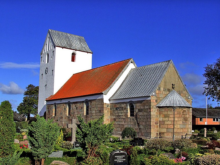
Church

Photo: Bococo, CC BY-SA 3.0.
Blidstrup Church is situated 1½ km north of Dige Lavpris.
Vester Assels Church
Church

Photo: Bococo, CC BY-SA 3.0.
Vester Assels Church is situated 3 km west of Dige Lavpris.
Places in the Area
Nearby places include Rakkeby and Rødding.
Rakkeby
Hamlet

Photo: Bococo, CC BY-SA 3.0.
Rakkeby is a small village on the island of Mors, northern Jutland, Denmark with 228 inhabitants. Rakkeby is in the western part of the island, about 5 km east-northeast of Karby. Rakkeby is situated 8 km northwest of Dige Lavpris.
Rødding
Village
 Rødding is a village, with a population of 872, in Skive Municipality, Central Denmark Region in Denmark. It is situated on the Salling peninsula 5 km northwest of Balling, 18 km southwest of Roslev and 17 km northwest of Skive. Rødding is situated 9 km southeast of Dige Lavpris.
Dige Lavpris
- Type: Supermarket
- Also known as: “Min Købmand”
- Categories: shop and food
- Location: Morsø Municipality, North Jutland, Jutland, Denmark, Nordic countries, Europe
- View on OpenStreetMap
Latitude
56.70239° or 56° 42′ 9″ northLongitude
8.69502° or 8° 41′ 42″ eastOperator
Kwik SparOpen location code
9F8CPM2W+X2OpenStreetMap ID
node 2339333729OpenStreetMap feature
shop=supermarket
This page is based on OpenStreetMap, Wikidata, and Wikimedia Commons.
We’d love your help improving our open data sources. Thank you for contributing.
Satellite Map
Discover Dige Lavpris from above in high-definition satellite imagery.
Notable Places Nearby
Highlights include Øster Assels Forsamlingshus and Blidstrup Efterskole.
Nearby Places
Explore places such as Dagli’Brugsen and Mygdam.
North Jutland: Must-Visit Destinations
Delve into Aalborg, Frederikshavn, Skagen, and Hjørring.
Curious Supermarkets to Discover
Uncover intriguing supermarkets from every corner of the globe.
About Mapcarta. Data © OpenStreetMap contributors and available under the Open Database License". Text is available under the CC BY-SA 4.0 license, except for photos, directions, and the map. Photo: Slaunger, CC BY-SA 3.0.