Nierssee
Nierssee is a locality in Mönchengladbach, Düsseldorf, North Rhine-Westphalia. Nierssee is situated nearby to the locality Cloerbruchbenden, as well as near Distelbruch.| Tap on a place to explore it |
Places of Interest
Highlights include Schloss Neersen and Düsseldorf Mönchengladbach Airport.
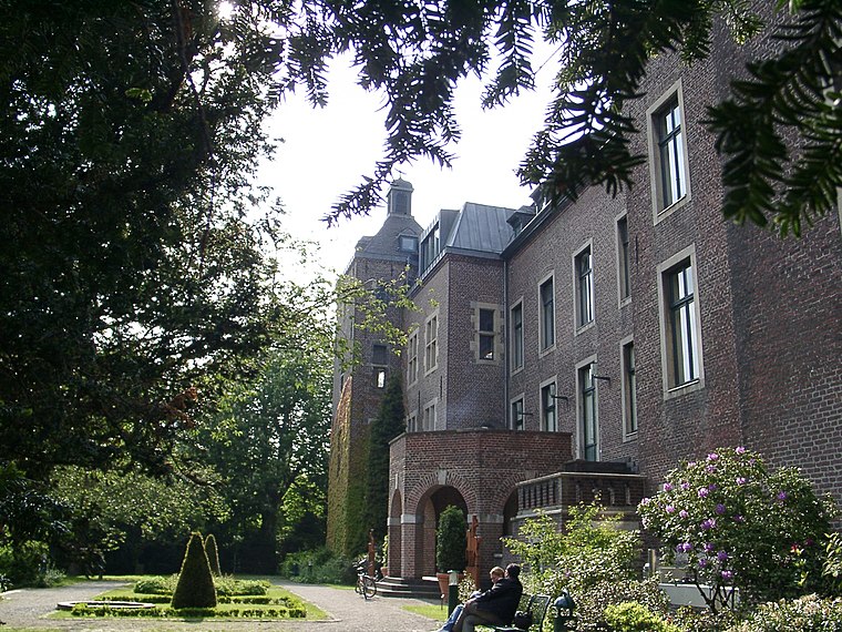
Schloss Neersen
Public building

Photo: Mino1997, CC BY-SA 4.0.
Schloss Neersen is a public building.
Düsseldorf Mönchengladbach Airport
Aerodrome
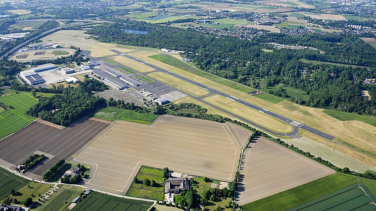
Photo: Carsten Steger, CC BY-SA 4.0.
Mönchengladbach Airport is a small regional airport located 4.4 km northeast of Mönchengladbach and 15.2 km west of Düsseldorf. It is co-owned by the company which also runs Düsseldorf Airport and the local utility company NVV AG. Düsseldorf Mönchengladbach Airport is situated 2½ km southeast of Nierssee.

Places in the Area
Nearby places include Neersen and Lockhütte.

Vennheide
Hamlet

Photo: EisenHerz, Public domain.
Vennheide is a hamlet, which is situated 3 km north of Nierssee.
Nierssee
- Type: Locality
- Location: Mönchengladbach, Düsseldorf, Lower Rhine, North Rhine-Westphalia, Germany, Central Europe, Europe
- View on OpenStreetMap
Latitude
51.24436° or 51° 14′ 40″ northLongitude
6.469° or 6° 28′ 8″ eastOpen location code
9F386FV9+PHOpenStreetMap ID
node 2340461292OpenStreetMap feature
place=locality
This page is based on OpenStreetMap, Wikidata, and Wikimedia Commons.
We’d love your help improving our open data sources. Thank you for contributing.
Satellite Map
Discover Nierssee from above in high-definition satellite imagery.
Places with the Same Name
Discover other places named “Nierssee”.
Localities in the Area
Explore places such as Cloerbruchbenden and Cloerbruch.
Notable Places Nearby
Highlights include Nachklärbecken and Nachklärbecken.
Lower Rhine: Must-Visit Destinations
Delve into Düsseldorf, Krefeld, Neuss, and Kleve.
Curious Localities to Discover
Uncover intriguing localities from every corner of the globe.
About Mapcarta. Data © OpenStreetMap contributors and available under the Open Database License". Text is available under the CC BY-SA 4.0 license, except for photos, directions, and the map. Photo: CaS2000, CC BY-SA 3.0 de.