Zona produttiva Vurza - Handwerkerzone Wurzer
Zona produttiva Vurza - Handwerkerzone Wurzer is a bus stop in Laives/Leifers, South Tyrol, Trentino-Alto Adige. Zona produttiva Vurza - Handwerkerzone Wurzer is situated nearby to the health club Body Planet A.S.D., as well as near the nature reserve Biotop Rennermoos.| Tap on a place to explore it |
Places of Interest Nearby
Highlights include Laives/Leifers railway station and Saint James church.
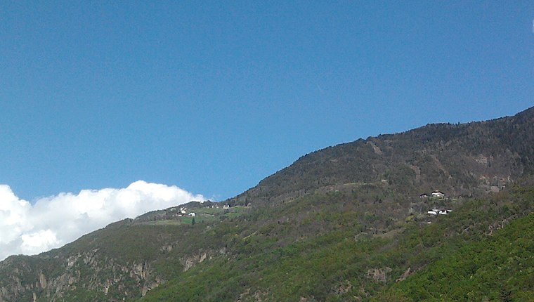
Laives/Leifers railway station
Railway station

Photo: Tobia09, CC BY-SA 3.0.
Laives/Leifers railway station is situated 1½ km southwest of Zona produttiva Vurza - Handwerkerzone Wurzer.
Saint James church
Church

Photo: Syrio, CC BY-SA 4.0.
Saint James church is situated 1½ km north of Zona produttiva Vurza - Handwerkerzone Wurzer.
Saint James church
Church

Photo: Syrio, CC BY-SA 4.0.
Saint James church is situated 1½ km north of Zona produttiva Vurza - Handwerkerzone Wurzer.
Places in the Area
Nearby places include Steinmannwald and San Giacomo.


Zona produttiva Vurza - Handwerkerzone Wurzer
- Type: Bus stop
- Category: transportation
- Location: Laives/Leifers, South Tyrol, Trentino-Alto Adige, Northeast Italy, Italy, Europe
- View on OpenStreetMap
Latitude
46.44322° or 46° 26′ 36″ northLongitude
11.34069° or 11° 20′ 27″ eastOperator
SASANetwork
TVSOpen location code
8FRHC8VR+77OpenStreetMap ID
node 2368676883OpenStreetMap feature
highway=bus_stopOpenStreetMap feature
public_transport=platform
This page is based on OpenStreetMap, Wikidata, and Wikimedia Commons.
We’d love your help improving our open data sources. Thank you for contributing.
Satellite Map
Discover Zona produttiva Vurza - Handwerkerzone Wurzer from above in high-definition satellite imagery.
In Other Languages
From German to Italian—“Zona produttiva Vurza - Handwerkerzone Wurzer” goes by many names.
- German: “Handwerkerzone Wurzer”
- Italian: “Zona produttiva Vurza”
Notable Places Nearby
Highlights include Body Planet A.S.D. and Biotop Rennermoos.
Nearby Places
Explore places such as Zona produttiva Vurza - Handwerkerzone Wurzer and Lazzarini S.p.a. Trasporti Internazionali.
South Tyrol: Must-Visit Destinations
Delve into Bolzano, Brixen, Merano, and Bruneck.
Curious Bus Stops to Discover
Uncover intriguing bus stops from every corner of the globe.
About Mapcarta. Data © OpenStreetMap contributors and available under the Open Database License". Text is available under the CC BY-SA 4.0 license, except for photos, directions, and the map. Photo: Benreis, CC BY 3.0.