Irvine City Hall
Irvine City Hall is a town hall in Orange County, Southern California, California. Irvine City Hall is situated nearby to the police station Irvine Police Department, as well as near the sports venue Deanna Manning Stadium.| Tap on a place to explore it |
Places of Interest Nearby
Highlights include Pao Fa Temple and The District.
Pao Fa Temple
Church

Photo: Wikimedia, CC BY-SA 3.0.
Pao Fa Temple is one of the largest Buddhist monasteries and Buddhist temples in the United States. The temple believes in the Dharma from its roots, the same as the Pao Chieh Chan Temple in Wugu, Taipei, and the Pao Shawn Chan Temple in Puli, Nanto, Taiwan. Pao Fa Temple is situated 2,500 feet northwest of Irvine City Hall.
The District
Commercial area
The District is a large outdoor shopping center and entertainment hub in Tustin, California. It was developed by Vestar Development Co. and was the largest shopping center in Orange County to open in more than a decade when it opened in 2007. The District is situated 1 mile north of Irvine City Hall.
Tustin station
Railway station

Photo: Wikimedia, Public domain.
Tustin station is a Metrolink train station in Tustin, California, United States. The station is located in a shopping plaza at the intersection of Jamboree Road and Edinger Avenue. Tustin station is situated 2 miles northeast of Irvine City Hall.
Places in the Area
Nearby places include Irvine and Woodbridge.
Irvine

Photo: Traveler100, CC BY-SA 4.0.
Irvine is a city of 308,000 people in Orange County, California. Irvine is one of the newest and largest cities in Orange County, and it is still growing.
Woodbridge
Suburb
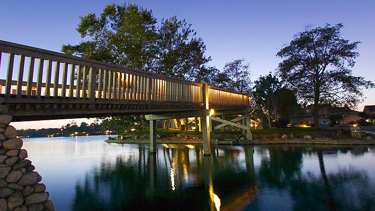
Photo: David Eppstein, CC BY-SA 2.5.
Woodbridge is a large suburban housing development, begun in 1975 by the Irvine Company, in the central region of Irvine, California. It covers 2.65 square miles and has two large artificial lakes at its center. Woodbridge is situated 1½ miles southeast of Irvine City Hall.
Turtle Rock
Suburb
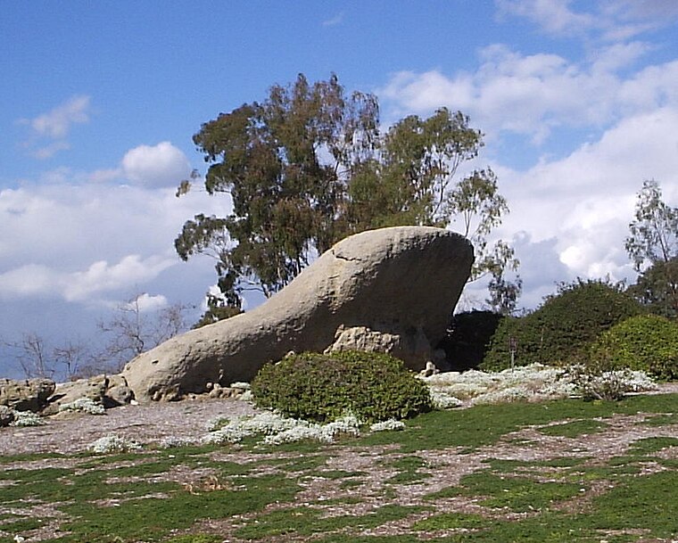
Photo: Jerry picker, CC BY-SA 3.0.
Turtle Rock is a neighborhood in the south part of Irvine, Orange County, California, near Concordia University, Irvine and the University of California, Irvine. Turtle Rock is situated 3½ miles south of Irvine City Hall.
Irvine City Hall
- Type: Town hall
- Category: government building
- Location: Orange County, Southern California, California, United States, North America
- View on OpenStreetMap
Latitude
33.68596° or 33° 41′ 9″ northLongitude
-117.82613° or 117° 49′ 34″ westOpen location code
8554M5PF+9GOpenStreetMap ID
node 2369115816OpenStreetMap feature
amenity=townhall
This page is based on OpenStreetMap, Wikidata, and Wikimedia Commons.
We’d love your help improving our open data sources. Thank you for contributing.
Satellite Map
Discover Irvine City Hall from above in high-definition satellite imagery.
Notable Places Nearby
Highlights include Irvine Police Department and Deanna Manning Stadium.
Nearby Places
Explore places such as Irvine City Hall and Irvne Clock Tower.
Orange County: Must-Visit Destinations
Delve into Anaheim, Disneyland, Santa Ana, and Irvine.
Curious Town Halls to Discover
Uncover intriguing town halls from every corner of the globe.
About Mapcarta. Data © OpenStreetMap contributors and available under the Open Database License". Text is available under the CC BY-SA 4.0 license, except for photos, directions, and the map. Photo: Traveler100, CC BY-SA 3.0.