Halfmoon Sheet
Halfmoon Sheet is a bus stop in Petersfield, East Hampshire, England. Halfmoon Sheet is situated nearby to the park Sheet Playing Field, as well as near the community center Sheet Village Hall.| Tap on a place to explore it |
Places of Interest Nearby
Highlights include Church of St Mary Magdalene and Churcher’s College.
Church of St Mary Magdalene
Church

Photo: Michael Ford, CC BY-SA 2.0.
Church of St Mary Magdalene is situated 940 feet northwest of Halfmoon Sheet.
Churcher’s College
School
Churcher's College is a private co-educational fee-charging day school, founded in 1722. Churcher’s College is regarded as a leading private school in the south of England. Churcher’s College is situated 2,900 feet southwest of Halfmoon Sheet.
Petersfield railway station
Railway station
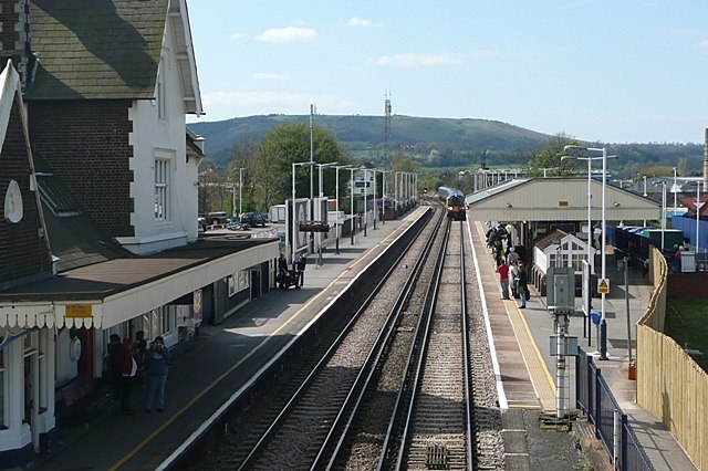
Photo: Graham Horn, CC BY-SA 2.0.
Petersfield railway station serves the market town of Petersfield, Hampshire, England. It is on the Portsmouth Direct line, 54 miles 71 chains down the line from London Waterloo via Woking. Petersfield railway station is situated 1¼ miles southwest of Halfmoon Sheet.
Places in the Area
Nearby places include Steep Marsh and Flexcombe.
Steep Marsh
Hamlet
Steep Marsh is a small village in the civil parish of Steep situated in the South Downs Area of Outstanding Natural Beauty in the East Hampshire district of Hampshire, England.
Flexcombe
Hamlet
Flexcombe is a two housed place in the civil parish of Liss, in the East Hampshire district of Hampshire, England. The hamlet is situated in the South Downs National Park, just off the A3 bypass near Petersfield. Flexcombe is situated 1½ miles north of Halfmoon Sheet.
Nursted
Hamlet
Nursted is a hamlet in the civil parish of Buriton, in the East Hampshire district of Hampshire, England. It is 1.8 miles southeast of Petersfield, on the B21466 road. Nursted is situated 2 miles south of Halfmoon Sheet.
Halfmoon Sheet
- Type: Bus stop
- Category: transportation
- Location: Petersfield, East Hampshire, Hampshire, South East England, England, United Kingdom, Britain and Ireland, Europe
- View on OpenStreetMap
Latitude
51.01437° or 51° 0′ 52″ northLongitude
-0.9173° or 0° 55′ 2″ westOperator
Stage CoachOpen location code
9C3X237M+P3OpenStreetMap ID
node 2376120951OpenStreetMap feature
highway=bus_stopOpenStreetMap feature
public_transport=platform
This page is based on OpenStreetMap, Wikidata, and Wikimedia Commons.
We’d love your help improving our open data sources. Thank you for contributing.
Satellite Map
Discover Halfmoon Sheet from above in high-definition satellite imagery.
Notable Places Nearby
Highlights include Sheet Playing Field and Sheet Village Hall.
Nearby Places
Explore places such as The Half Moon and Stepping Stones.
Hampshire: Must-Visit Destinations
Delve into Southampton, Portsmouth, Winchester, and Farnborough.
Curious Bus Stops to Discover
Uncover intriguing bus stops from every corner of the globe.
About Mapcarta. Data © OpenStreetMap contributors and available under the Open Database License". Text is available under the CC BY-SA 4.0 license, except for photos, directions, and the map. Photo: Bashereyre, CC BY-SA 3.0.