Glen Eyre Road
Glen Eyre Road is a bus stop in Southampton, England. Glen Eyre Road is situated nearby to University Post Office, as well as near the theater building Turner Sims Concert Hall.| Tap on a place to explore it |
Places of Interest Nearby
Highlights include Boldrewood Innovation Campus and Highfield Campus.
Boldrewood Innovation Campus
University
 Boldrewood Innovation Campus is one of the University of Southampton’s campuses, located in Bassett, Southampton. The campus is home to the University's engineering and maritime engineering courses and business school. Boldrewood Innovation Campus is situated 860 feet west of Glen Eyre Road.
Highfield Campus
University
Highfield Campus is the main campus of the University of Southampton and is located in Southampton, southern England. It is the largest of the university's campuses with most of the students studying there. Highfield Campus is situated 1,200 feet southeast of Glen Eyre Road.
Nuffield Theatre
Building
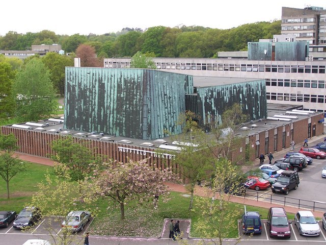
Photo: David Martin, CC BY-SA 2.0.
Nuffield Theatre is a building, which is situated 1,000 feet southeast of Glen Eyre Road.
Places in the Area
Nearby places include Bassett and Highfield.
Bassett
Suburb

Photo: Adrian Bailey, CC BY-SA 2.0.
Bassett is a suburb and electoral ward of the City of Southampton, England. The suburb lies to the north of the city centre and gives its name to part of the A33 arterial road which links the city centre to the M3, described by Pevsner & Lloyd as "part of the splendid tree-lined route into Southampton from Winchester, London and the north".
Highfield
Suburb
Highfield is a suburb of Southampton, England. The suburb is situated to the north of the city centre, and is bounded by Southampton Common, Bassett, Swaythling and Portswood.
Bassett Green
Suburb

Photo: Mike Faherty, CC BY-SA 2.0.
Bassett Green is a suburb of Southampton, which has grown from the original small village of Basset. It remains part of the electoral ward of Bassett. The area is mainly residential, with a mixture of Herbert Collins-designed houses and council built estates known as the Flowers Estate and the Leaside Way Estate.
Glen Eyre Road
- Type: Bus stop
- Category: transportation
- Location: Southampton, England, United Kingdom, Britain and Ireland, Europe
- View on OpenStreetMap
Latitude
50.9375° or 50° 56′ 15″ northLongitude
-1.40081° or 1° 24′ 3″ westOpen location code
9C2WWHPX+XMOpenStreetMap ID
node 2377144897OpenStreetMap feature
highway=bus_stopOpenStreetMap feature
public_transport=platform
This page is based on OpenStreetMap, Wikidata, and Wikimedia Commons.
We’d love your help improving our open data sources. Thank you for contributing.
Satellite Map
Discover Glen Eyre Road from above in high-definition satellite imagery.
Places with the Same Name
Discover other places named “Glen Eyre Road”.
Notable Places Nearby
Highlights include University Post Office and Turner Sims Concert Hall.
Nearby Places
Explore places such as Glen Eyre Road and Holmwood Court.
England: Must-Visit Destinations
Delve into London, Manchester, Sheffield, and Leeds.
Curious Bus Stops to Discover
Uncover intriguing bus stops from every corner of the globe.
About Mapcarta. Data © OpenStreetMap contributors and available under the Open Database License". Text is available under the CC BY-SA 4.0 license, except for photos, directions, and the map. Photo: Ronald Saunders, CC BY-SA 2.0.