Area archeologica Ponterotto
Area archeologica Ponterotto is an archaeological site in San Casciano in Val di Pesa, Florence, Tuscany. Area archeologica Ponterotto is situated nearby to the church Cappella del Ponterotto, as well as near the park Parco La Botte.| Tap on a place to explore it |
Places of Interest Nearby
Highlights include Church of Misericordia, San Casciano and Giuliano Ghelli Museum in San Casciano Val di Pesa.
Church of Misericordia, San Casciano
Museum

Photo: Vignaccia76, CC BY-SA 3.0.
Church of Misericordia, San Casciano is a museum, which is situated 2½ km northeast of Area archeologica Ponterotto.
Giuliano Ghelli Museum in San Casciano Val di Pesa
Museum

Photo: Vignaccia76, CC BY-SA 3.0.
Giuliano Ghelli Museum in San Casciano Val di Pesa is situated 2½ km northeast of Area archeologica Ponterotto.
Palazzo del Greco
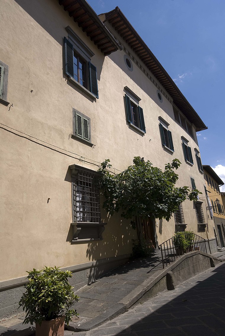
Photo: Vignaccia76, CC BY-SA 3.0.
Palazzo del Greco is situated 2½ km northeast of Area archeologica Ponterotto.
Places in the Area
Nearby places include Lucignano and Calcinaia.
Lucignano
Village

Photo: Sailko, CC BY-SA 3.0.
Lucignano is a village in Tuscany, central Italy, administratively a frazione of the comune of Montespertoli, Metropolitan City of Florence. At the time of the 2001 census its population was 232. Lucignano is situated 3 km southwest of Area archeologica Ponterotto.
Calcinaia
Hamlet

Photo: Lucarelli, CC BY-SA 4.0.
Calcinaia is a comune and town in the province of Pisa in the Italian region Tuscany, located about 50 kilometres west of Florence and about 20 kilometres east of Pisa. Calcinaia is situated 3½ km east of Area archeologica Ponterotto.
Bargino
Village

Photo: Wikimedia, CC BY-SA 3.0.
Bargino is a village, which is situated 4 km southeast of Area archeologica Ponterotto.
Area archeologica Ponterotto
- Type: Archaeological site
- Categories: historic site, tourist attraction, and tourism
- Location: San Casciano in Val di Pesa, Florence, Tuscany, Central Italy, Italy, Europe
- View on OpenStreetMap
Latitude
43.64381° or 43° 38′ 38″ northLongitude
11.16162° or 11° 9′ 42″ eastOpen location code
8FMHJ5V6+GJOpenStreetMap ID
node 2389284711OpenStreetMap feature
historic=archaeological_site
This page is based on OpenStreetMap, Wikidata, and Wikimedia Commons.
We’d love your help improving our open data sources. Thank you for contributing.
Satellite Map
Discover Area archeologica Ponterotto from above in high-definition satellite imagery.
Notable Places Nearby
Highlights include Area archeologica Ponterotto and Cappella del Ponterotto.
Nearby Places
Explore places such as Laika and Alimentari Trattoria.
Florence: Must-Visit Destinations
Delve into Florence, Scandicci, Fiesole, and Greve in Chianti.
Curious Archaeological Sites to Discover
Uncover intriguing archaeological sites from every corner of the globe.
About Mapcarta. Data © OpenStreetMap contributors and available under the Open Database License". Text is available under the CC BY-SA 4.0 license, except for photos, directions, and the map. Photo: Wikimedia, GPL.