Marmaris Cafe
Marmaris Cafe is a café in Greenwich, Greater London, England which is located on Well Hall Road. Marmaris Cafe is situated nearby to Eltham railway station, as well as near the bus station Eltham Station.| Tap on a place to explore it |
Places of Interest Nearby
Highlights include Eltham railway station and Tudor Barn.
Eltham railway station
Railway station
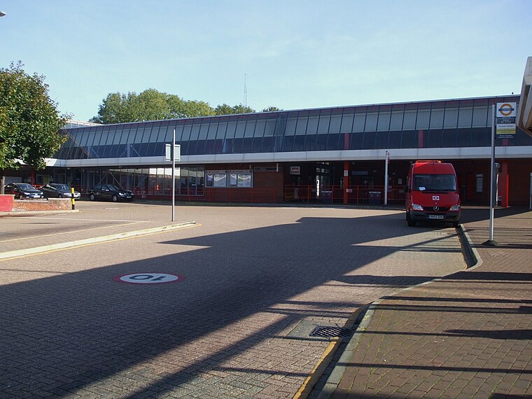
Photo: Sunil060902, CC BY-SA 3.0.
Eltham railway station is in the Well Hall area of Eltham, South East London, within the Royal Borough of Greenwich. It is 10 miles 68 chains measured from London Victoria.
Tudor Barn
Restaurant

Photo: Tudor Barn Royal Greenwich, CC BY-SA 4.0.
The Tudor Barn is a large brick barn in Eltham in the Royal Borough of Greenwich. It was built in 1525 by William Roper. The Ropers lived next door in a manor house in the centre of a moat for several years. Tudor Barn is situated 580 feet northwest of Marmaris Cafe.
Eltham Palace
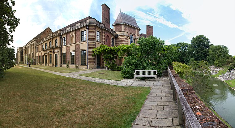
Photo: Tom Parnell, CC BY-SA 2.0.
Eltham Palace is a large house at Eltham in southeast London, England, within the Royal Borough of Greenwich. The house consists of the medieval great hall of a former royal residence, to which an Art Deco extension was added in the 1930s. Eltham Palace is situated 3,300 feet south of Marmaris Cafe.
Places in the Area
Nearby places include Well Hall and Eltham.
Well Hall
Suburb
Well Hall is a place to the north of Eltham in the Royal Borough of Greenwich in southeast London, England, with no present formal boundaries and located 13.5 km east-southeast of Charing Cross.
Eltham
Town
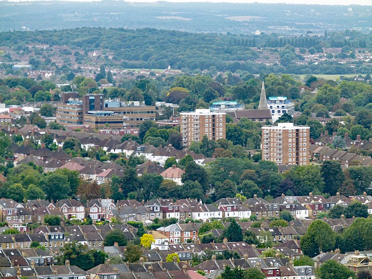
Photo: Kleon3, CC BY-SA 4.0.
Eltham is a district of southeast London, England, within the Royal Borough of Greenwich. It is 8.7 miles east-southeast of Charing Cross, and is identified in the London Plan as one of 35 major centres in Greater London.
Middle Park
Suburb
Middle Park is an estate located in the Eltham district of the Royal Borough of Greenwich.
Marmaris Cafe
- Type: Café
- Address: 144 Well Hall Road, London, SE9 6SN
- Location: Greenwich, Greater London, London, England, United Kingdom, Britain and Ireland, Europe
- View on OpenStreetMap
Latitude
51.45594° or 51° 27′ 21″ northLongitude
0.05109° or 0° 3′ 4″ eastOpen location code
9F32F342+9COpenStreetMap ID
node 2478195211OpenStreetMap feature
amenity=cafe
This page is based on OpenStreetMap, Wikidata, and Wikimedia Commons.
We’d love your help improving our open data sources. Thank you for contributing.
Satellite Map
Discover Marmaris Cafe from above in high-definition satellite imagery.
Places with the Same Name
Discover other places named “Marmaris Cafe”.
Notable Places Nearby
Highlights include Eltham Station and Well Hall Pleasaunce.
Nearby Places
Explore places such as Woodhead and Yi Wah.
London: Must-Visit Destinations
Delve into South Kensington-Chelsea, Heathrow Airport, City of London, and Westminster.
Curious Cafés to Discover
Uncover intriguing cafés from every corner of the globe.
About Mapcarta. Data © OpenStreetMap contributors and available under the Open Database License". Text is available under the CC BY-SA 4.0 license, except for photos, directions, and the map. Photo: Diliff, CC BY 3.0.