Jadwal Jamali
Jadwal Jamali is a locality in Al-Qādisiyyah Governorate, Iraq. Jadwal Jamali is situated nearby to the locality Nahr al Jadwal, as well as near Hawr ar Rughayliyah.| Tap on a place to explore it |
Places in the Area
Nearby places include Al-Shamiya and Al-Manathera District.
Al-Shamiya
Town
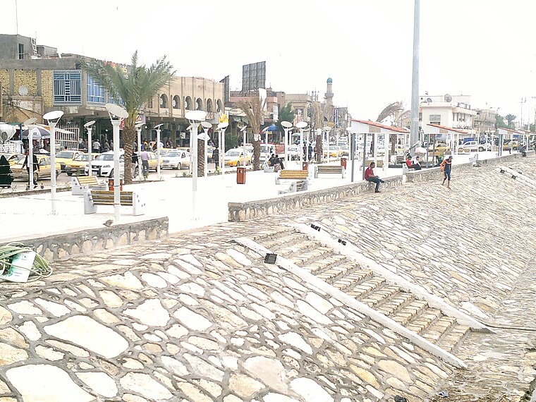
Photo: Qudees, CC BY-SA 4.0.
Al-Shamiya is a city in Al-Shamiya District, Al-Qādisiyyah Governorate, Iraq. It is roughly 147 km south of Baghdad on the Al-Shamiya branch of the Euphrates. Al-Shamiya is situated 6 km northeast of Jadwal Jamali.
Al-Manathera District
Town
Al-Manathera District is a district of the Najaf Governorate, Iraq. Al-Manathera District is situated 7 km west of Jadwal Jamali.
Al-Hira
Town

Photo: Kamāl ud-Dīn Behzād, Public domain.
Al-Hira was an ancient Lakhmid Arabic city in Mesopotamia located south of what is now Kufa in south-central Iraq. The Sasanian government established the Lakhmid Kingdom of Hatra on the edge of the Arabian Desert near Iraq in order to both prevent direct confrontation between the two empires and to gain its support in battles against Rome. Al-Hira is situated 8 km west of Jadwal Jamali.
Jadwal Jamali
- Type: Locality
- Also known as: “Jadwal Jamālī, جدول جمالي, Jadwal Jamali, جدول جمالي”
- Location: Al-Qādisiyyah Governorate, Iraq, Middle East, Asia
- View on OpenStreetMap
Latitude
31.91147° or 31° 54′ 41″ northLongitude
44.56735° or 44° 34′ 3″ eastOpen location code
8H36WH68+HWOpenStreetMap ID
node 2485465042OpenStreetMap feature
place=locality
This page is based on OpenStreetMap, Wikidata, and Wikimedia Commons.
We’d love your help improving our open data sources. Thank you for contributing.
Satellite Map
Discover Jadwal Jamali from above in high-definition satellite imagery.
In Other Languages
From Arabic to German—“Jadwal Jamali” goes by many names.
- Arabic: “جدول جمالي”
- French: “Jadwal Jamali”
- German: “Jadwal Jamali”
Localities in the Area
Explore places such as Nahr al Jadwal and Hawr ar Rughayliyah.
Notable Places Nearby
Highlights include الفرات and ايشان هديب.
Iraq: Must-Visit Destinations
Delve into Baghdad, Babylon, Mosul, and Basra.
Curious Localities to Discover
Uncover intriguing localities from every corner of the globe.
About Mapcarta. Data © OpenStreetMap contributors and available under the Open Database License". Text is available under the CC BY-SA 4.0 license, except for photos, directions, and the map. Photo: Wikimedia, Public domain.