Maternidad (caballos)
Maternidad (caballos) is a work of art in Parla, Madrid, Community of Madrid. Maternidad (caballos) is situated nearby to the park Plaza del Agua, as well as near the swimming pool Villajuventus II.| Tap on a place to explore it |
Places of Interest Nearby
Highlights include Parla railway station and Escuelas Lope de Vega de Parla.
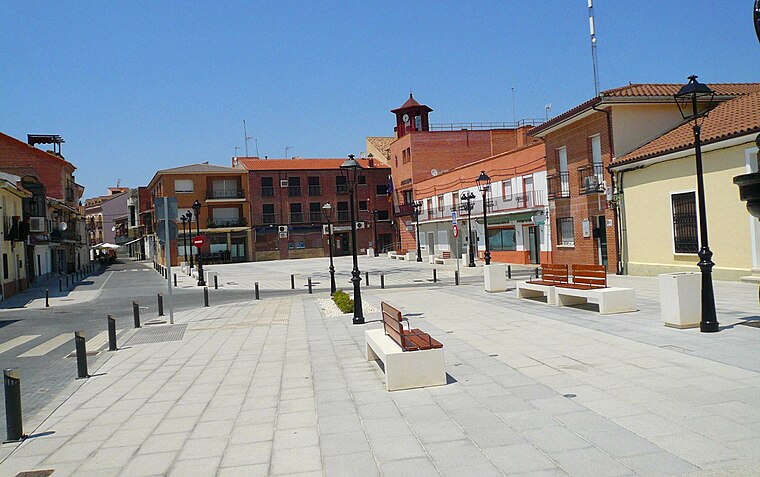
Parla railway station
Railway station

Photo: IngolfBLN, CC BY-SA 2.0.
Parla railway station is situated 230 metres south of Maternidad (caballos).
Escuelas Lope de Vega de Parla
Community center

Photo: Juancar22, CC BY-SA 4.0.
Escuelas Lope de Vega de Parla is a community center, which is situated 480 metres south of Maternidad (caballos).
Parla town hall
Town hall

Photo: Zarateman, CC BY-SA 4.0.
Parla town hall is situated 710 metres southwest of Maternidad (caballos).
Places in the Area
Nearby places include Humanes de Madrid and Torrejón de la Calzada.
Humanes de Madrid
Town
 Humanes de Madrid is a town and municipality of Spain, part of the Community of Madrid. As of 2019, it has a population of 19,743 inhabitants. Humanes de Madrid is situated 5 km west of Maternidad (caballos).
Torrejón de la Calzada
Village

Photo: Wikimedia, CC BY 3.0 es.
Torrejón de la Calzada is a municipality of the Community of Madrid, Spain. In 2022 it had a population of 9,947. Torrejón de la Calzada is situated 5 km southwest of Maternidad (caballos).
Pinto
Town

Photo: Onanymous, CC BY-SA 4.0.
Pinto is a municipality in the Community of Madrid, Spain. It is located in the central area of the Iberian Peninsula at an altitude of 604 meters, 20 kilometers south of Madrid, and covers 62.7 square kilometers. Pinto is situated 6 km east of Maternidad (caballos).
Maternidad (caballos)
- Type: Work of art
- Artwork type: sculpture
- Category: tourism
- Location: Parla, Madrid, Community of Madrid, Central Spain, Spain, Iberia, Europe
- View on OpenStreetMap
Latitude
40.24303° or 40° 14′ 35″ northLongitude
-3.76843° or 3° 46′ 6″ westOpen location code
8CGR66VJ+6JOpenStreetMap ID
node 2524794354OpenStreetMap feature
tourism=artworkOpenStreetMap attribute
artwork_type=sculpture
This page is based on OpenStreetMap, Wikidata, and Wikimedia Commons.
We’d love your help improving our open data sources. Thank you for contributing.
Satellite Map
Discover Maternidad (caballos) from above in high-definition satellite imagery.
Notable Places Nearby
Highlights include Plaza del Agua and Villajuventus II.
Nearby Places
Explore places such as Madre and Hijo.
Community of Madrid: Must-Visit Destinations
Delve into Madrid, Alcalá de Henares, Getafe, and Aranjuez.
Curious Work Of Arts to Discover
Uncover intriguing work of arts from every corner of the globe.
About Mapcarta. Data © OpenStreetMap contributors and available under the Open Database License". Text is available under the CC BY-SA 4.0 license, except for photos, directions, and the map. Photo: Wikimedia, CC0.