Sedelce / Forcella di Valromana
Sedelce / Forcella di Valromana is a mountain saddle in Tarvisio, Friuli, Friuli-Venezia Giulia and has an elevation of 2,031 metres. Sedelce / Forcella di Valromana is situated nearby to the locality Alpe Moritsch, as well as near Mangartska planina.| Tap on a place to explore it |
Places of Interest
Highlights include Mangart and Mangart Saddle.
Mangart
Peak

Photo: Kallerna, CC BY-SA 4.0.
Mangart or Mangrt is a mountain in the Julian Alps, located on the border between Italy and Slovenia. With an elevation of 2,679 metres, it is the fourth-highest peak in Slovenia, after Triglav, Škrlatica and Mali Triglav.
Mangart Saddle
Mountain saddle

Photo: Kallerna, CC BY-SA 4.0.
Mangart Saddle or the Mangart Pass is a mountain saddle in the Julian Alps in northwestern Slovenia. It has an elevation of 2,072 metres. It is the most common starting point for the ascent of Mt. Mangart.

Places in the Area
Nearby places include Strmec na Predelu and Cave del Predil.
Strmec na Predelu
Hamlet

Photo: Doremo, CC BY-SA 4.0.
Strmec na Predelu is a settlement in the Municipality of Bovec in the Littoral region of Slovenia. It lies on the road to the Predel Pass. Another road, distinguished by being the road built at the highest elevation in Slovenia, splits off the road to Predel and leads to the lodge on Mangart Saddle.
Cave del Predil
Village

Photo: Johann Jaritz, CC BY-SA 3.0.
Cave del Predil is a frazione subdivision of the comune of Tarvisio in the Province of Udine, in the Friuli-Venezia Giulia region of northeastern Italy.
Fusine in Valromana
Village
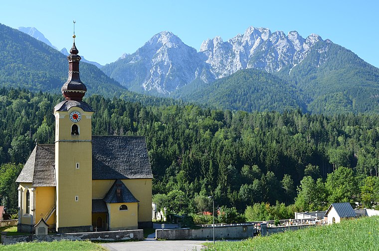
Photo: Johann Jaritz, CC BY-SA 3.0.
Fusine in Valromana is a frazione of the comune of Tarvisio in the Province of Udine, in the autonomous Friuli-Venezia Giulia region of northeastern Italy.
Sedelce / Forcella di Valromana
- Type: Mountain saddle with an elevation of 2,031 metres
- Category: landform
- Location: Tarvisio, Friuli, Friuli-Venezia Giulia, Northeast Italy, Italy, Europe
- View on OpenStreetMap
Latitude
46.4417° or 46° 26′ 30″ northLongitude
13.6308° or 13° 37′ 51″ eastElevation
2,031 metres (6,663 feet)Open location code
8FRMCJRJ+M8OpenStreetMap ID
node 2525474438OpenStreetMap feature
natural=saddle
This page is based on OpenStreetMap, Wikidata, and Wikimedia Commons.
We’d love your help improving our open data sources. Thank you for contributing.
Satellite Map
Discover Sedelce / Forcella di Valromana from above in high-definition satellite imagery.
In Other Languages
“Sedelce / Forcella di Valromana” goes by many names.
- Italian: “Forcella di Valromana”
Localities in the Area
Explore places such as Alpe Moritsch and Mangartska planina.
Notable Places Nearby
Highlights include Monte Bucher grande / Skala and Visoka špica / Cima alta di Valromana.
Friuli-Venezia Giulia: Must-Visit Destinations
Delve into Trieste, Udine, Aquileia, and Gorizia.
Curious Mountain Saddles to Discover
Uncover intriguing mountain saddles from every corner of the globe.
About Mapcarta. Data © OpenStreetMap contributors and available under the Open Database License". Text is available under the CC BY-SA 4.0 license, except for photos, directions, and the map. Photo: Johann Jaritz, CC BY-SA 3.0 at.