Laverie L’Eclat
Laverie L’Eclat is a laundromat in Villejuif, Arrondissement of L’Haÿ-les-Roses, Île-de-France. Laverie L’Eclat is situated nearby to the prison Centre pour peines aménagées de Villejuif, as well as near the sports venue Antrebloc.| Tap on a place to explore it |
Places of Interest Nearby
Highlights include Villejuif–Léo Lagrange station and Église Sainte-Thérèse de Villejuif.
Villejuif–Léo Lagrange station
Metro station

Photo: Pline, CC BY-SA 3.0.
Villejuif–Léo Lagrange is a station of the Paris Métro, located on Line 7. It serves the commune of Villejuif. Villejuif–Léo Lagrange station is situated 180 metres north of Laverie L’Eclat.
Église Sainte-Thérèse de Villejuif
Church

Photo: Remi Mathis, CC BY-SA 4.0.
Église Sainte-Thérèse de Villejuif is a church, which is situated 220 metres southwest of Laverie L’Eclat.
Institut Gustave Roussy
Hospital

Photo: Chabe01, CC BY-SA 4.0.
Institut Gustave Roussy, sometimes called Gustave Roussy, is a cancer research hospital in Europe. It is located near Paris. It is named after Gustave Roussy, a Swiss-French neuropathologist. Institut Gustave Roussy is situated 1½ km southwest of Laverie L’Eclat.
Places in the Area
Nearby places include Le Kremlin-Bicêtre and Villejuif.
Le Kremlin-Bicêtre
Town

Photo: Chabe01, CC BY-SA 4.0.
Le Kremlin-Bicêtre is a commune in the southern suburbs of Paris, France. It is 4.5 km from the center of Paris. It is one of the most densely populated municipalities in Europe.
Villejuif
Town
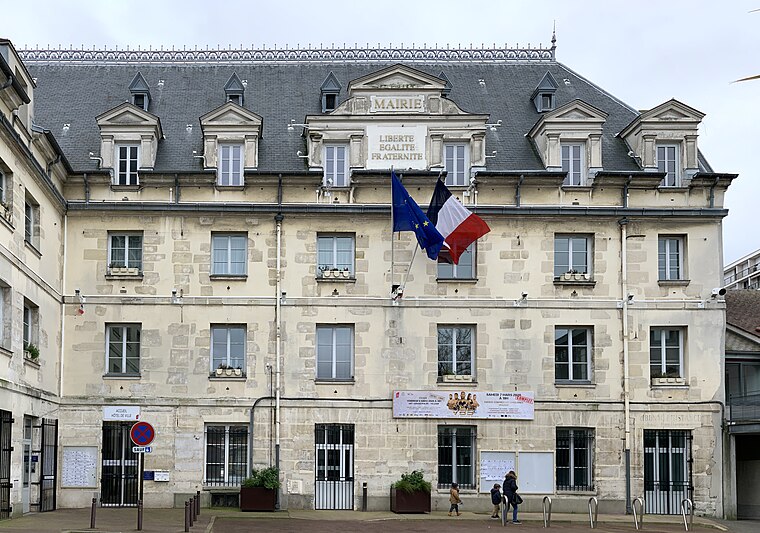
Photo: Chabe01, CC BY-SA 4.0.
Villejuif is a commune in the southern suburbs of Paris, France. It is located seven kilometres from the centre of Paris.
Porte d’Italie
Locality
The Porte d'Italie is one of the city gates of Paris, located in the 13th arrondissement, at the intersection of the Avenue d'Italie, the Boulevard Massena, the Avenue de la Porte d'Italie and the Rue Kellermann, facing Le Kremlin-Bicêtre.
Laverie L’Eclat
- Type: Laundromat
- Category: shop
- Location: Villejuif, Arrondissement of L’Haÿ-les-Roses, Val-de-Marne, Île-de-France, France, Europe
- View on OpenStreetMap
Latitude
48.80358° or 48° 48′ 13″ northLongitude
2.36461° or 2° 21′ 53″ eastOpen location code
8FW4R937+CROpenStreetMap ID
node 2568436181OpenStreetMap feature
shop=laundry
This page is based on OpenStreetMap, Wikidata, and Wikimedia Commons.
We’d love your help improving our open data sources. Thank you for contributing.
Satellite Map
Discover Laverie L’Eclat from above in high-definition satellite imagery.
Notable Places Nearby
Highlights include Centre pour peines aménagées de Villejuif and Antrebloc.
Nearby Places
Explore places such as Le 81 and Lokka Mariage.
Île-de-France: Must-Visit Destinations
Delve into Paris, Versailles, Boulogne-Billancourt, and Paris Charles de Gaulle Airport.
Curious Laundromats to Discover
Uncover intriguing laundromats from every corner of the globe.
About Mapcarta. Data © OpenStreetMap contributors and available under the Open Database License". Text is available under the CC BY-SA 4.0 license, except for photos, directions, and the map. Photo: Guillaume Baviere, CC BY 2.0.