Stillorgan Road, Merville Road
Stillorgan Road, Merville Road is a bus stop in Dún Laoghaire–Rathdown, Leinster. Stillorgan Road, Merville Road is situated nearby to the cemetery St Brigid’s Church of Ireland, as well as near the garden Our Lady of Guadalupe Residence.| Tap on a place to explore it |
Places of Interest Nearby
Highlights include St. John of God Hospital, Stillorgan and St. Raphaela’s School.
St. John of God Hospital, Stillorgan
Hospital
St. John of God University Hospital is a psychiatric teaching hospital located in Stillorgan, Dublin, Ireland. The hospital is part of the St. John of God Hospitaller Service Group, which is part of the international St. St. John of God Hospital, Stillorgan is situated 260 metres east of Stillorgan Road, Merville Road.
St. Raphaela’s School
School
St. Raphaelas is an all-girls primary school and secondary school located in Stillorgan, County Dublin and run by the Handmaids of the Sacred Heart of Jesus. The schools are named after Saint Raphaela. St. Raphaela’s School is situated 750 metres west of Stillorgan Road, Merville Road.
Beacon Hospital
Hospital
Beacon Hospital is a privately owned full-service teaching hospital located in the Sandyford suburb of Dublin, Ireland. The hospital was developed by Beacon Medical Group. Beacon Hospital is situated 2 km southwest of Stillorgan Road, Merville Road.
Places in the Area
Nearby places include Stillorgan and Blackrock.
Stillorgan
Suburb

Photo: Sarah777, Public domain.
Stillorgan, formerly a village in its own right, is now a suburban area of Dublin in Ireland. Stillorgan is located in Dún Laoghaire–Rathdown, and contains many housing estates, shops and other facilities, with the old village centre still present.
Blackrock
Town
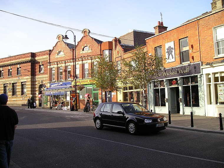
Photo: Wikimedia, Public domain.
Blackrock is an affluent suburb of Dublin, Ireland, 3 km northwest of Dún Laoghaire. It is named after the local geological rock formation to be found in the area of Blackrock Park.
Deansgrange
Suburb

Photo: Dmountain, CC BY-SA 3.0.
Deansgrange is a southern suburb of Dublin, centred on the crossroads of Clonkeen Road and Kill Lane. The area shares the name Clonkeen with the area further east, known as Kill of the Grange.
Stillorgan Road, Merville Road
- Type: Bus stop
- Wheelchair access: yes
- Category: transportation
- Location: Dún Laoghaire–Rathdown, Leinster, Ireland, Britain and Ireland, Europe
- View on OpenStreetMap
Latitude
53.28483° or 53° 17′ 5″ northLongitude
-6.19489° or 6° 11′ 42″ westOperator
Dublin Bus;Go-Ahead IrelandNetwork
National Transport AuthorityOpen location code
9C5M7RM4+W2OpenStreetMap ID
node 2578345064OpenStreetMap feature
highway=bus_stopOpenStreetMap feature
public_transport=platformOpenStreetMap attribute
wheelchair=yes
This page is based on OpenStreetMap, Wikidata, and Wikimedia Commons.
We’d love your help improving our open data sources. Thank you for contributing.
Satellite Map
Discover Stillorgan Road, Merville Road from above in high-definition satellite imagery.
Notable Places Nearby
Highlights include St Brigid’s Church of Ireland and St Brigid’s Church.
Nearby Places
Explore places such as Stillorgan Road, St. John of God’s and Holmfels.
Ireland: Must-Visit Destinations
Delve into Dublin, Cork, Limerick, and Galway.
Curious Bus Stops to Discover
Uncover intriguing bus stops from every corner of the globe.
About Mapcarta. Data © OpenStreetMap contributors and available under the Open Database License". Text is available under the CC BY-SA 4.0 license, except for photos, directions, and the map. Photo: Wikimedia, CC BY-SA 3.0.