Sareh
Sareh is a village in West Coast Division, Gambia. Sareh is situated nearby to the town Wellingara, as well as near Sukuta.| Tap on a place to explore it |
Places in the Area
Nearby places include Sukuta and Abuko.
Sukuta
Town
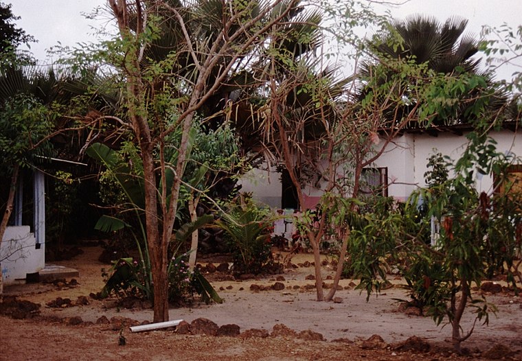
Photo: Atamari, CC BY-SA 2.5.
Sukuta is a town located in the Western Division of the Gambia. It had a population of 16,667 as of the 1993 census. Sukuta is situated 2½ km west of Sareh.
Abuko
Town

Photo: Atamari, CC BY-SA 3.0.
Abuko is a town in the West Coast Division of the Gambia, five miles southwest of the capital Banjul. It is located in the district of Kombo North/Saint Mary to the north of Banjul International Airport and Abuko Nature Reserve. Abuko is situated 2½ km east of Sareh.
Serekunda

Photo: Ikiwaner, CC BY-SA 3.0.
Serekunda is a major city and the largest metropolitan area in The Gambia. It is situated close to the Atlantic coast, on the Gambia River, near the capital, Banjul.
Sareh
- Type: Village
- Category: locality
- Location: West Coast Division, Gambia, West Africa, Africa
- View on OpenStreetMap
Latitude
13.40646° or 13° 24′ 23″ northLongitude
-16.68572° or 16° 41′ 9″ westOpen location code
7C55C847+HPOpenStreetMap ID
node 2616149100OpenStreetMap feature
place=village
This page is based on OpenStreetMap, Wikidata, and Wikimedia Commons.
We’d love your help improving our open data sources. Thank you for contributing.
Satellite Map
Discover Sareh from above in high-definition satellite imagery.
Places with the Same Name
Discover other places named “Sareh”.
Localities in the Area
Explore places such as Wellingara and Talinding Kunjang.
Notable Places Nearby
Highlights include MyFarm and Wellingara Police Station.
Gambia: Must-Visit Destinations
Delve into Banjul, Serekunda, Kunta Kinteh Island, and Brikama.
Curious Villages to Discover
Uncover intriguing villages from every corner of the globe.
About Mapcarta. Data © OpenStreetMap contributors and available under the Open Database License". Text is available under the CC BY-SA 4.0 license, except for photos, directions, and the map. Photo: mishimoto, CC BY 2.0.