Les Vallines
Les Vallines is a hamlet in Oviedo, Asturias and has about 10 residents. Les Vallines is situated nearby to the hamlet Les Bolíes, as well as near the village Santolaya.| Tap on a place to explore it |
Places of Interest
Highlights include Iglesia de Santolaya de Morcín and Parteayer train station.
Iglesia de Santolaya de Morcín
Church

Photo: Urbano Suarez, CC BY-SA 2.5.
Iglesia de Santolaya de Morcín is a church.
Parteayer train station
Railway stop

Photo: Xuliu Pombar, CC0.
Parteayer train station is a railway stop.
Alfilorios Reservoir
Reservoir

Photo: Urbano Suarez, CC BY-SA 3.0.
Alfilorios Reservoir is a reservoir in Asturias, Spain across the Barrea River. The dam is located in Ribera de Arriba, but the reservoir is between this municipality and Morcín. Alfilorios Reservoir is situated 3 km west of Les Vallines.
Places in the Area
Nearby places include Argame and Soto Ribera.
Argame
Hamlet
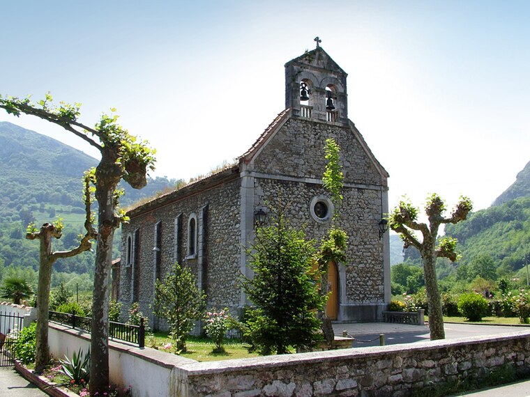
Photo: Urbano Suarez, CC BY-SA 2.5.
Argame is one of seven parishes in Morcín, a municipality within the province and autonomous community of Asturias, in northern Spain.
Soto Ribera
Village

Photo: Carmenmoran, CC BY 4.0.
Soto Ribera is a village, which is situated 3 km north of Les Vallines.
La Foz
Village

Photo: Urbano Suarez, CC BY-SA 2.5.
La Foz is one of seven parishes in Morcín, a municipality within the province and autonomous community of Asturias, in northern Spain. The Ethnographic Museum of Dairy is located in the parish. La Foz is situated 3½ km south of Les Vallines.
Les Vallines
- Type: Hamlet with 10 residents
- Category: locality
- Location: Oviedo, Asturias, Green Spain, Spain, Iberia, Europe
- View on OpenStreetMap
Latitude
43.28041° or 43° 16′ 50″ northLongitude
-5.88372° or 5° 53′ 1″ westPopulation
10Open location code
8CMP74J8+5GOpenStreetMap ID
node 2655094036OpenStreetMap feature
place=hamlet
This page is based on OpenStreetMap, Wikidata, and Wikimedia Commons.
We’d love your help improving our open data sources. Thank you for contributing.
Satellite Map
Discover Les Vallines from above in high-definition satellite imagery.
Places with the Same Name
Discover other places named “Les Vallines”.
Localities in the Area
Explore places such as Les Bolíes and Santolaya.
Notable Places Nearby
Highlights include Ayuntamiento de Morcín and Biblioteca Pública Municipal de Morcín.
Asturias: Must-Visit Destinations
Delve into Gijón, Villaviciosa, Grado, and Salas.
Curious Hamlets to Discover
Uncover intriguing hamlets from every corner of the globe.
About Mapcarta. Data © OpenStreetMap contributors and available under the Open Database License". Text is available under the CC BY-SA 4.0 license, except for photos, directions, and the map. Photo: Wikimedia, CC0.