Thompson’s Bottom
Thompson’s Bottom is a locality in Temple Bruer with Temple High Grange, North Kesteven, England. Thompson’s Bottom is situated nearby to the hamlet Temple Bruer, as well as near Brauncewell.| Tap on a place to explore it |
Places of Interest
Highlights include Temple Bruer and Church of St Hybald.

Church of St Hybald
Church

Photo: Richard Croft, CC BY-SA 2.0.
Church of St Hybald is situated 2½ miles east of Thompson’s Bottom.
Church of All Saints
Church

Photo: Richard Croft, CC BY-SA 2.0.
Church of All Saints is situated 2½ miles southeast of Thompson’s Bottom.
Places in the Area
Nearby places include Somerton Castle and Ruskington.
Somerton Castle
Locality

Photo: Richard Croft, CC BY-SA 2.0.
Somerton Castle is located approximately 1 mile west of the village of Boothby Graffoe in Lincolnshire, England and to the south of the city of Lincoln, England. Somerton Castle is situated 4½ miles northwest of Thompson’s Bottom.
Ruskington
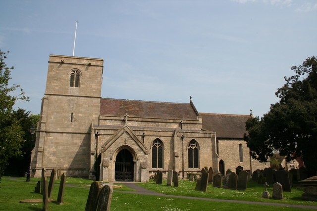
Photo: Richard Croft, CC BY-SA 2.0.
Ruskington is a large village in the North Kesteven district of Lincolnshire, England. The population was 5600 in 2011.
Metheringham
Village

Photo: Dave Hitchborne, CC BY-SA 2.0.
Metheringham is a village and civil parish in the North Kesteven district of Lincolnshire, England. The population of the civil parish at the 2011 census was 3,605. Metheringham is situated 5 miles northeast of Thompson’s Bottom.
Thompson’s Bottom
Latitude
53.08245° or 53° 4′ 57″ northLongitude
-0.48093° or 0° 28′ 51″ westOpen location code
9C5X3GJ9+XJOpenStreetMap ID
node 2666162209OpenStreetMap feature
place=locality
This page is based on OpenStreetMap, Wikidata, and Wikimedia Commons.
We’d love your help improving our open data sources. Thank you for contributing.
Satellite Map
Discover Thompson’s Bottom from above in high-definition satellite imagery.
Localities in the Area
Explore places such as Temple Bruer and Brauncewell.
Notable Places Nearby
Highlights include Warren Plantation and St John.
Lincolnshire: Must-Visit Destinations
Delve into Lincoln, Grimsby, Scunthorpe, and Stamford.
Curious Localities to Discover
Uncover intriguing localities from every corner of the globe.
About Mapcarta. Data © OpenStreetMap contributors and available under the Open Database License". Text is available under the CC BY-SA 4.0 license, except for photos, directions, and the map. Photo: Wikimedia, CC0.