Sarreliber
Sarreliber is a factory in Souto e Tabaçô, Arcos de Valdevez, Viana do Castelo District. Sarreliber is situated nearby to the cemetery Cemitério de Tabaçô, as well as near the church Igreja de Tabaçô.| Tap on a place to explore it |
Places of Interest Nearby
Highlights include Pelourinho de Ponte da Barca and Câmara Municipal de Ponte da Barca.
Pelourinho de Ponte da Barca

Photo: Wikimedia, CC BY-SA 2.5.
Pelourinho de Ponte da Barca is situated 2 km southeast of Sarreliber.
Câmara Municipal de Ponte da Barca
Town hall

Photo: Stephen Colebourne, CC BY 2.0.
Câmara Municipal de Ponte da Barca is a town hall, which is situated 2 km southeast of Sarreliber.
Casa de Valverde
Heritage site
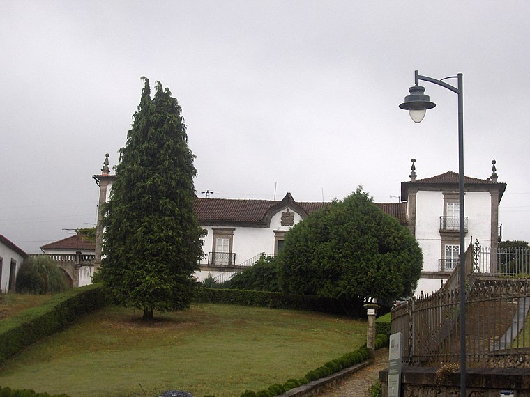
Photo: Vicentetavora, CC BY-SA 4.0.
Casa de Valverde is a heritage site, which is situated 2½ km northeast of Sarreliber.
Places in the Area
Nearby places include Ponte da Barca and Bravães.
Ponte da Barca
Town

Photo: Wikimedia, CC BY-SA 3.0.
Ponte da Barca is a town and a municipality in the district of Viana do Castelo in northern Portugal. It spans an area of 182.11 square kilometres and had a population of 11,044 as of the 2021 census.
Bravães
Village

Photo: JoaoMirandaBot, CC BY-SA 3.0.
Bravães is a village, which is situated 3 km southwest of Sarreliber.
Freguesia de Vila Nova de Muía
Village

Photo: Vitor Oliveira, CC BY-SA 2.0.
Freguesia de Vila Nova de Muía is a village, which is situated 3 km southeast of Sarreliber.
Sarreliber
- Type: Factory
- Category: industry
- Location: Souto e Tabaçô, Arcos de Valdevez, Viana do Castelo District, Portugal, Iberia, Europe
- View on OpenStreetMap
Latitude
41.82069° or 41° 49′ 15″ northLongitude
-8.43544° or 8° 26′ 8″ westOpen location code
8CHHRHC7+7ROpenStreetMap ID
node 2683452681OpenStreetMap feature
man_made=works
This page is based on OpenStreetMap, Wikidata, and Wikimedia Commons.
We’d love your help improving our open data sources. Thank you for contributing.
Satellite Map
Discover Sarreliber from above in high-definition satellite imagery.
Notable Places Nearby
Highlights include Cemitério de Tabaçô and Igreja de Tabaçô.
Nearby Places
Explore places such as Mora and Estação Elevatória de Águas Residuais de Tabaçô.
Portugal: Must-Visit Destinations
Delve into Lisbon, Caldas da Rainha, Porto, and Coimbra.
Curious Factories to Discover
Uncover intriguing factories from every corner of the globe.
About Mapcarta. Data © OpenStreetMap contributors and available under the Open Database License". Text is available under the CC BY-SA 4.0 license, except for photos, directions, and the map. Photo: Carlos Cunha, CC BY-SA 3.0.