Bombenopferkreuz
Bombenopferkreuz is a wayside cross in Hornstein, Eisenstadt-Umgebung District, Burgenland. Bombenopferkreuz is situated nearby to the peak Schusterberg, as well as near Minibachberg.| Tap on a place to explore it |
Places of Interest Nearby
Highlights include Ruine Hornstein, Burgenland and Rathaus.
Ruine Hornstein, Burgenland
Castle

Photo: Civertan, CC BY-SA 3.0.
Ruine Hornstein, Burgenland is a castle, which is situated 1¼ km northeast of Bombenopferkreuz.
Rathaus
Town hall

Photo: Bwag, CC BY-SA 3.0.
Rathaus is a town hall, which is situated 1½ km north of Bombenopferkreuz.
Pfarrkirche St. Anna, Hornstein
Church

Photo: Bwag, CC BY-SA 3.0.
Pfarrkirche St. Anna, Hornstein is a church, which is situated 1½ km north of Bombenopferkreuz.
Places in the Area
Nearby places include Steinbrunn and Neufeld an der Leitha.
Steinbrunn
Village

Photo: Steindy, CC BY-SA 4.0.
Steinbrunn is a town in the district of Eisenstadt-Umgebung in the Austrian state of Burgenland. Steinbrunn is situated 4 km southwest of Bombenopferkreuz.
Neufeld an der Leitha
Town

Photo: Steindy, CC BY-SA 3.0.
Neufeld an der Leitha is a town in the district of Eisenstadt-Umgebung in the Austrian state of Burgenland. It lies on the river Leitha, which forms the border with Lower Austria. Neufeld an der Leitha is situated 5 km west of Bombenopferkreuz.
Kleinhöflein im Burgenland
Village
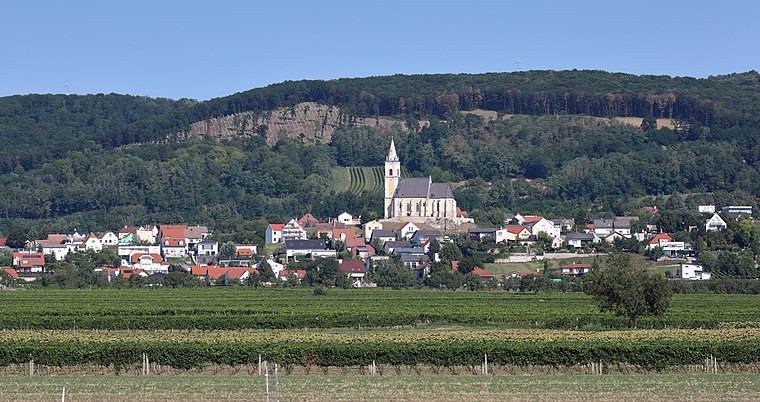
Photo: Bwag, CC BY-SA 4.0.
Kleinhöflein im Burgenland is a village, which is situated 5 km southeast of Bombenopferkreuz.
Bombenopferkreuz
- Type: Wayside cross
- Category: historic site
- Location: Hornstein, Eisenstadt-Umgebung District, Burgenland, Austria, Central Europe, Europe
- View on OpenStreetMap
Latitude
47.86594° or 47° 51′ 57″ northLongitude
16.44498° or 16° 26′ 42″ eastOpen location code
8FVRVC8V+9XOpenStreetMap ID
node 2696722222OpenStreetMap feature
historic=wayside_cross
This page is based on OpenStreetMap, Wikidata, and Wikimedia Commons.
We’d love your help improving our open data sources. Thank you for contributing.
Satellite Map
Discover Bombenopferkreuz from above in high-definition satellite imagery.
Notable Places Nearby
Highlights include Schusterberg and Minibachberg.
Nearby Places
Explore places such as Leben am Waldrand and Carmen 2005.
Burgenland: Must-Visit Destinations
Delve into Eisenstadt, Neusiedl am See, Rust, and Güssing.
Curious Wayside Crosses to Discover
Uncover intriguing wayside crosses from every corner of the globe.
About Mapcarta. Data © OpenStreetMap contributors and available under the Open Database License". Text is available under the CC BY-SA 4.0 license, except for photos, directions, and the map. Photo: Wikimedia, CC BY-SA 4.0.