Manor Farm
Manor Farm is a farm in North Ormsby, East Lindsey District, England. Manor Farm is situated nearby to the monastery North Ormsby Abbey, as well as near the forest Oak Plantation.| Tap on a place to explore it |
Places of Interest Nearby
Highlights include Church of St Andrew and Church of St Mary.
Church of St Andrew
Church

Photo: Richard Croft, CC BY-SA 2.0.
Church of St Andrew is situated 1 mile east of Manor Farm.
Church of St Mary
Church

Photo: Richard Croft, CC BY-SA 2.0.
Church of St Mary is situated 1½ miles north of Manor Farm.
Ludborough railway station
Railway station
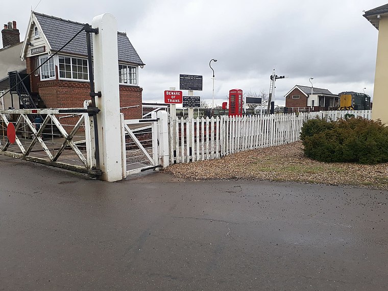
Photo: JoshuaIsTheFalco, CC BY-SA 4.0.
Ludborough is a heritage railway station in Ludborough, Lincolnshire, England, which is the base of the Lincolnshire Wolds Railway. The station, which was previously part of the East Lincolnshire Railway, closed in 1961 to passengers and 1964 to freight, but was taken over by the preservation society in 1984. Ludborough railway station is situated 2 miles northeast of Manor Farm.
Places in the Area
Nearby places include Kelstern and Louth.
Kelstern
Hamlet

Photo: Dennis Wetherley, CC BY-SA 2.0.
Kelstern is a village and former civil parish, now in the parish of Calcethorpe with Kelstern, in the East Lindsey district of Lincolnshire, England. In 1961 the parish had a population of 68. Kelstern is situated 3 miles southwest of Manor Farm.
Louth

Photo: Jkslouth, Public domain.
Louth is a market town and civil parish in the East Lindsey district of Lincolnshire, England. Louth serves as an important town for a large rural area of eastern Lincolnshire.
Waithe
Hamlet

Photo: Richard Croft, CC BY-SA 2.0.
Waithe is a hamlet and civil parish in the East Lindsey district of Lincolnshire, England. It is on the A16, 1 mile south from Holton-le-Clay and 1 mile north from North Thoresby. Waithe is situated 4½ miles north of Manor Farm.
Manor Farm
- Type: Farm
- Categories: locality and agriculture
- Location: North Ormsby, East Lindsey District, Lincolnshire, East Midlands, England, United Kingdom, Britain and Ireland, Europe
- View on OpenStreetMap
Latitude
53.42069° or 53° 25′ 15″ northLongitude
-0.05981° or 0° 3′ 35″ westOpen location code
9C5XCWCR+73OpenStreetMap ID
node 2698950032OpenStreetMap feature
place=farm
This page is based on OpenStreetMap, Wikidata, and Wikimedia Commons.
We’d love your help improving our open data sources. Thank you for contributing.
Satellite Map
Discover Manor Farm from above in high-definition satellite imagery.
Places with the Same Name
Discover other places named “Manor Farm”.
Notable Places Nearby
Highlights include North Ormsby Abbey and Utterby Village Hall.
Nearby Places
Explore places such as St Helens Church and White Cottages.
Lincolnshire: Must-Visit Destinations
Delve into Lincoln, Grimsby, Scunthorpe, and Stamford.
Curious Farms to Discover
Uncover intriguing farms from every corner of the globe.
About Mapcarta. Data © OpenStreetMap contributors and available under the Open Database License". Text is available under the CC BY-SA 4.0 license, except for photos, directions, and the map. Photo: Wikimedia, CC0.