Blick auf Münchweiler
Blick auf Münchweiler is a scenic viewpoint in Münchweiler an der Rodalb, Südwestpfalz, Rhineland-Palatinate. Blick auf Münchweiler is situated nearby to the motorhome stopover Wohnmobilstellplätze Zentrum Münchweiler, as well as near the sports venue Rotensteinhalle.| Tap on a place to explore it |
Places of Interest Nearby
Highlights include Ruppertstein Castle and St. Peter (Merzalben).
Ruppertstein Castle
Castle

Photo: Wikimedia, CC BY-SA 3.0.
Ruppertstein Castle is the ruins of a hill castle located at an elevation of 452 m above sea level near the village of Lemberg in the collective municipality of Pirmasens-Land in the county of Südwestpfalz in the German state of Rhineland-Palatinate. Ruppertstein Castle is situated 3½ km south of Blick auf Münchweiler.
St. Peter (Merzalben)
Church

Photo: Gerd Eichmann, CC BY-SA 4.0.
St. Peter (Merzalben) is a church, which is situated 4 km northeast of Blick auf Münchweiler.
Places in the Area
Nearby places include Ruppertsweiler and Merzalben.
Ruppertsweiler
Village
Ruppertsweiler is a municipality in Südwestpfalz district, in Rhineland-Palatinate, western Germany and belongs to the municipal association Pirmasens-Land. Ruppertsweiler is situated 2½ km south of Blick auf Münchweiler.
Merzalben
Village

Photo: Gerd Eichmann, CC BY-SA 4.0.
Merzalben is a municipality in Südwestpfalz district, in Rhineland-Palatinate, western Germany, deriving its name from the Merzalbe, also known as the Merzalb, that flows through the village. Merzalben is situated 4 km northeast of Blick auf Münchweiler.
Rodalben
Village
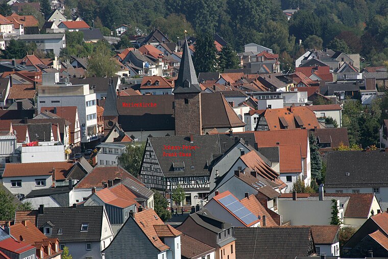
Photo: Gerd Eichmann, CC BY-SA 3.0.
Rodalben is a municipality in the Südwestpfalz district, in Rhineland-Palatinate, Germany. It is situated in the Palatinate forest, approx. 5 km northeast of Pirmasens. Rodalben is situated 4½ km northwest of Blick auf Münchweiler.
Blick auf Münchweiler
- Type: Scenic viewpoint
- Category: tourism
- Location: Münchweiler an der Rodalb, Südwestpfalz, Rhineland-Palatinate, Germany, Central Europe, Europe
- View on OpenStreetMap
Latitude
49.21782° or 49° 13′ 4″ northLongitude
7.69517° or 7° 41′ 43″ eastOpen location code
8FX96M9W+43OpenStreetMap ID
node 2761018089OpenStreetMap feature
tourism=viewpoint
This page is based on OpenStreetMap, Wikidata, and Wikimedia Commons.
We’d love your help improving our open data sources. Thank you for contributing.
Satellite Map
Discover Blick auf Münchweiler from above in high-definition satellite imagery.
Notable Places Nearby
Highlights include Wohnmobilstellplätze Zentrum Münchweiler and Rotensteinhalle.
Nearby Places
Explore places such as Connys Hairdesign and Appartement Prochnow.
Rhineland-Palatinate: Must-Visit Destinations
Delve into Mainz, Trier, Koblenz, and Worms.
Curious Scenic Viewpoints to Discover
Uncover intriguing scenic viewpoints from every corner of the globe.
About Mapcarta. Data © OpenStreetMap contributors and available under the Open Database License". Text is available under the CC BY-SA 4.0 license, except for photos, directions, and the map. Photo: Traveler100, CC BY-SA 3.0.