CBS De Schakel
CBS De Schakel is a school in West Betuwe, Gelderland which is located on J.H. Lievense-van Herwaardenstraat. CBS De Schakel is situated nearby to the pond Kalenbergse Plas, as well as near Healthclub 45.| Tap on a place to explore it |
Places of Interest Nearby
Highlights include Bethelkerk and Geldermalsen railway station.
Bethelkerk
Church
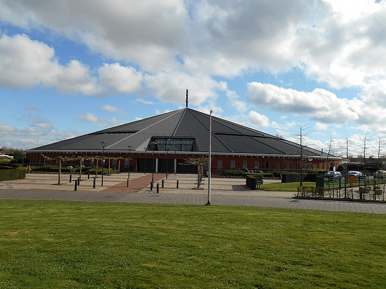
Photo: Ouddorp, CC BY-SA 3.0.
Bethelkerk is a church, which is situated 540 metres north of CBS De Schakel.
Geldermalsen railway station
Railway station
 Geldermalsen is a railway station in the town of Geldermalsen, Netherlands. The station opened on 1 Nov 1868. The station is a junction, with an island platform for easy transfers. Geldermalsen railway station is situated 1½ km northwest of CBS De Schakel.
De Bouwing
Windmill

Photo: Quistnix, CC BY-SA 2.5.
De Bouwing is a windmill, which is situated 1¼ km north of CBS De Schakel.
Places in the Area
Nearby places include Meteren and Geldermalsen.
Meteren
Village
Meteren is a village in the Dutch province of Gelderland. It is a part of the municipality of West Betuwe, and lies about 10 km west of Tiel.
Geldermalsen
Town
Geldermalsen is a town and former municipality in the province of Gelderland in the Netherlands.
Tricht
Village

Photo: GVR, CC BY-SA 4.0.
Tricht is a village in the Dutch province of Gelderland. It is a part of the municipality of West Betuwe, and lies about 10 km west of Tiel.
CBS De Schakel
- Type: School
- Address: J.H. Lievense-van Herwaardenstraat 4, Meteren, 4194RR
- Category: education
- Location: West Betuwe, Gelderland, Eastern Netherlands, Netherlands, Benelux, Europe
- View on OpenStreetMap
Latitude
51.87012° or 51° 52′ 12″ northLongitude
5.28127° or 5° 16′ 53″ eastOpen location code
9F37V7CJ+2GOpenStreetMap ID
node 2797642575OpenStreetMap feature
amenity=school
This page is based on OpenStreetMap, Wikidata, and Wikimedia Commons.
We’d love your help improving our open data sources. Thank you for contributing.
Satellite Map
Discover CBS De Schakel from above in high-definition satellite imagery.
Places with the Same Name
Discover other places named “CBS De Schakel”.
Notable Places Nearby
Highlights include Kalenbergse Plas and Healthclub 45.
Nearby Places
Explore places such as Fantaziehuis Kalenberg and Meester Aafjes Openbare Daltonschool.
Gelderland: Must-Visit Destinations
Delve into Arnhem, Nijmegen, Apeldoorn, and Ede.
Curious Places to Discover
Uncover intriguing places from every corner of the globe.
About Mapcarta. Data © OpenStreetMap contributors and available under the Open Database License". Text is available under the CC BY-SA 4.0 license, except for photos, directions, and the map. Photo: Agnes Monkelbaan, CC BY-SA 4.0.