Speyer, Kirche St. Otto
Speyer, Kirche St. Otto is a bus stop in Speyer, Palatinate, Rhineland-Palatinate. Speyer, Kirche St. Otto is situated nearby to the marketplace Wochenmarkt Berliner Patz, as well as near the public building Stadtteilbüro.| Tap on a place to explore it |
Places of Interest Nearby
Highlights include Speyer Hauptbahnhof and Old Cemetery.
Speyer Hauptbahnhof
Railway station
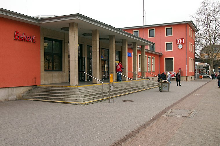
Photo: BlueBreezeWiki, CC BY-SA 3.0.
Speyer Hauptbahnhof is the more important of the two railway stations in the city of Speyer in the German state of Rhineland-Palatinate. Speyer Hauptbahnhof is situated 1 km southeast of Speyer, Kirche St. Otto.
Old Cemetery
Park

Photo: BlueBreezeWiki, CC BY-SA 3.0.
Old Cemetery is a park, which is situated 1¼ km southeast of Speyer, Kirche St. Otto.
Villa Kirrmeier-Ecarius
Public building

Photo: Manuae, CC BY-SA 3.0.
Villa Kirrmeier-Ecarius is a public building, which is situated 1¼ km southeast of Speyer, Kirche St. Otto.
Places in the Area
Nearby places include Otterstadt and Hanhofen.
Otterstadt
Village

Photo: Frank-m, CC BY-SA 2.5.
Otterstadt is a municipality in the Rhein-Pfalz-Kreis, in Rhineland-Palatinate, Germany. The almost 980-year-old village was once a pure agricultural and fishing village. Otterstadt is situated 5 km northeast of Speyer, Kirche St. Otto.
Hanhofen
Village

Photo: Immanuel Giel, CC0.
Hanhofen is a municipality in the Rhein-Pfalz-Kreis, in Rhineland-Palatinate, Germany. Hanhofen is situated 6 km west of Speyer, Kirche St. Otto.
Römerberg
Village
Römerberg is a municipality in the Rhein-Pfalz-Kreis, in Rhineland-Palatinate, Germany. It is situated on the left bank of the Rhine, approximately 5 kilometres southwest of Speyer. Römerberg is situated 6 km south of Speyer, Kirche St. Otto.
Speyer, Kirche St. Otto
- Type: Bus stop
- Categories: transport stop and transportation
- Location: Speyer, Palatinate, Rhineland-Palatinate, Germany, Central Europe, Europe
- View on OpenStreetMap
Latitude
49.32968° or 49° 19′ 47″ northLongitude
8.41657° or 8° 24′ 60″ eastOpen location code
8FXC8CH8+VJOpenStreetMap ID
node 2801503647OpenStreetMap feature
public_transport=stop_position
This page is based on OpenStreetMap, Wikidata, and Wikimedia Commons.
We’d love your help improving our open data sources. Thank you for contributing.
Satellite Map
Discover Speyer, Kirche St. Otto from above in high-definition satellite imagery.
Notable Places Nearby
Highlights include St. Otto and Wochenmarkt Berliner Patz.
Nearby Places
Explore places such as Speyer, Kirche St. Otto and Pfarramt St. Otto.
Palatinate: Must-Visit Destinations
Delve into Ludwigshafen, Kaiserslautern, Pirmasens, and Landau in der Pfalz.
Curious Bus Stops to Discover
Uncover intriguing bus stops from every corner of the globe.
About Mapcarta. Data © OpenStreetMap contributors and available under the Open Database License". Text is available under the CC BY-SA 4.0 license, except for photos, directions, and the map. Photo: Wikimedia, CC0.