El Planal
El Planal is a hamlet in Siero, Asturias and has about 46 residents. El Planal is situated nearby to the hamlet El Cuto, as well as near Areñes.| Tap on a place to explore it |
Places of Interest
Highlights include Palace of Valdesoto.
Palace of Valdesoto
House

Photo: Adolfobrigido, CC BY-SA 3.0 es.
Palace of Valdesoto is a house, which is situated 3 km north of El Planal.
Places in the Area
Nearby places include Pola de Siero and L’Entregu.
Pola de Siero
 Pola de Siero is a town in Asturias, Spain. It has 12,700 inhabitants and lies on the Northern Way of the Camino de Santiago.
L’Entregu
Suburb
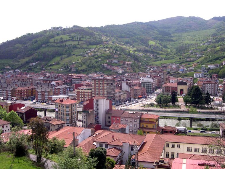
Photo: Wikimedia, Public domain.
L'Entregu is a town and urban center in San Martín del Rey Aurelio, Asturias, Spain. In September 2007, by a decree of the Principality of Asturias, L'Entregu joined the adjacent Sotrondio and Blimea to form a single population center of San Martin del Rey name Aurelio as a homonymous municipality. L’Entregu is situated 6 km south of El Planal.
Langreo
Town
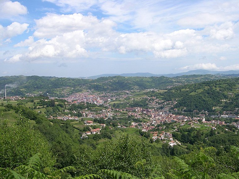
Photo: Wikimedia, Public domain.
Langreo is a town, which is situated 6 km southwest of El Planal.
El Planal
- Type: Hamlet with 46 residents
- Category: locality
- Location: Siero, Asturias, Green Spain, Spain, Iberia, Europe
- View on OpenStreetMap
Latitude
43.34102° or 43° 20′ 28″ northLongitude
-5.64386° or 5° 38′ 38″ westPopulation
46Open location code
8CMP89R4+CFOpenStreetMap ID
node 2816149225OpenStreetMap feature
place=hamlet
This page is based on OpenStreetMap, Wikidata, and Wikimedia Commons.
We’d love your help improving our open data sources. Thank you for contributing.
Satellite Map
Discover El Planal from above in high-definition satellite imagery.
Localities in the Area
Explore places such as El Cuto and Areñes.
Notable Places Nearby
Highlights include Polideportivo Manuel Corujo Ornia and Campanal.
Asturias: Must-Visit Destinations
Delve into Oviedo, Gijón, Aviles, and Villaviciosa.
Curious Hamlets to Discover
Uncover intriguing hamlets from every corner of the globe.
About Mapcarta. Data © OpenStreetMap contributors and available under the Open Database License". Text is available under the CC BY-SA 4.0 license, except for photos, directions, and the map. Photo: MickStephenson, CC BY-SA 3.0.