Semaforo Punta Falcone
Semaforo Punta Falcone is a scenic viewpoint in Santa Teresa Gallura, Province of Sassari, Sardinia. Semaforo Punta Falcone is situated nearby to the lighthouse Semaforo di Punta Falcone, as well as near the ruins Batteria Punta Falcone.| Tap on a place to explore it |
Places of Interest Nearby
Highlights include Isole Marmorata and La Marmorata.
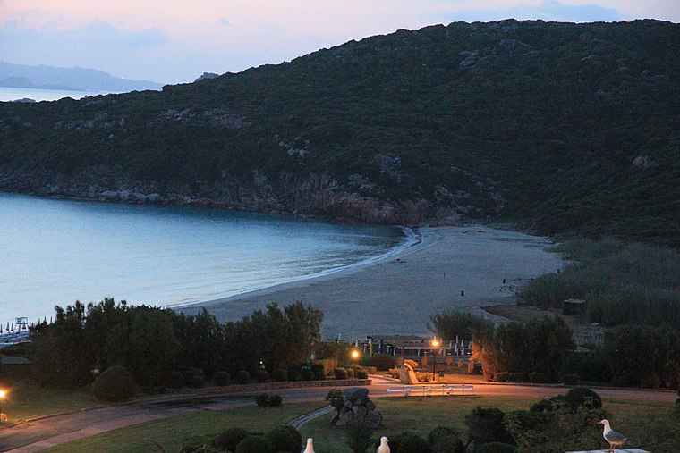
Isole Marmorata
Islet

Photo: Discanto, CC BY-SA 3.0.
Isole Marmorata is an islet, which is situated 1¼ km northeast of Semaforo Punta Falcone.
Places in the Area
Nearby places include Punta Falcone and Porto Pozzo.

Porto Pozzo
Hamlet

Photo: Discanto, CC BY-SA 3.0.
Porto Pozzo is a hamlet, which is situated 7 km southeast of Semaforo Punta Falcone.
Isola dei Gabbiani
 The Isuledda, also called Isola dei Gabbiani, is an almost-island in northern Sardinia, Italy, facing the Sardinian channel. Covering an area of approximately 180,000 m2, it is almost completely surrounded by the sea, and connected to the mainland by a narrow isthmus of sandy terrain, hence, despite the name, it is in fact a peninsula.
Semaforo Punta Falcone
- Type: Scenic viewpoint
- Category: tourism
- Location: Santa Teresa Gallura, Province of Sassari, Sassari, Sardinia, Italy, Europe
- View on OpenStreetMap
Latitude
41.24924° or 41° 14′ 57″ northLongitude
9.22587° or 9° 13′ 33″ eastOpen location code
8FHF66XG+M8OpenStreetMap ID
node 2848001412OpenStreetMap feature
tourism=viewpoint
This page is based on OpenStreetMap, Wikidata, and Wikimedia Commons.
We’d love your help improving our open data sources. Thank you for contributing.
Satellite Map
Discover Semaforo Punta Falcone from above in high-definition satellite imagery.
Places with the Same Name
Discover other places named “Semaforo Punta Falcone”.
Notable Places Nearby
Highlights include Semaforo di Punta Falcone and Batteria Punta Falcone.
Nearby Places
Explore places such as La Terrazza and La Marmorata.
Sassari: Must-Visit Destinations
Delve into Sassari, Alghero, Olbia, and Tempio Pausania.
Curious Scenic Viewpoints to Discover
Uncover intriguing scenic viewpoints from every corner of the globe.
About Mapcarta. Data © OpenStreetMap contributors and available under the Open Database License". Text is available under the CC BY-SA 4.0 license, except for photos, directions, and the map. Photo: Pierre Bona, CC BY-SA 4.0.