Jelení háj, štátna hranica
Jelení háj, štátna hranica is in Lower Austria, Austria. Jelení háj, štátna hranica is situated nearby to the bunker B-S 1 Štěrkoviště casemate, as well as near the beach Vydrická pláž.| Tap on a place to explore it |
Places of Interest Nearby
Highlights include Vodárenské múzeum, Bratislava and Botanical Garden.
Vodárenské múzeum, Bratislava
Museum

Photo: Kandy Talbot, CC BY 3.0.
Vodárenské múzeum, Bratislava is a museum, which is situated 760 metres northeast of Jelení háj, štátna hranica.
Botanical Garden
Garden

Photo: Pelex, CC BY-SA 4.0.
Botanical Garden of the Comenius University is the only botanical garden in Bratislava, the capital of Slovakia. It is located in the Karlova Ves borough, next to the Old Town district and the Lafranconi Bridge by the Bratislava Riverfront and it contains over 4,000 plant species covering an area of 6.6 hectares. Botanical Garden is situated 1¼ km east of Jelení háj, štátna hranica.
Lanfranconi Bridge
Bridge

Photo: Cornischong, CC BY-SA 3.0.
Lanfranconi Bridge is a concrete motorway bridge in Bratislava, Slovakia, located on the D2 motorway. It was built in 1985–1991, with its right half opened in 1990 and the rest in 1992. Lanfranconi Bridge is situated 1¼ km east of Jelení háj, štátna hranica.
Places in the Area
Nearby places include Dlhé diely and Karlova Ves.
Dlhé diely
Quarter
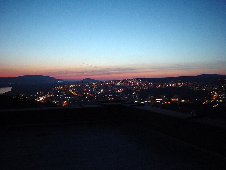
Photo: Wikimedia, Public domain.
Dlhé diely is a neighborhood of Bratislava, the capital of Slovakia, part of the Karlova Ves borough in the Bratislava IV district. It is one of the newest residential quarters of the city, it is situated at the foothills of the Little Carpathians overlooking the river Danube, offering extensive views over Bratislava and Austria.
Karlova Ves
Suburb
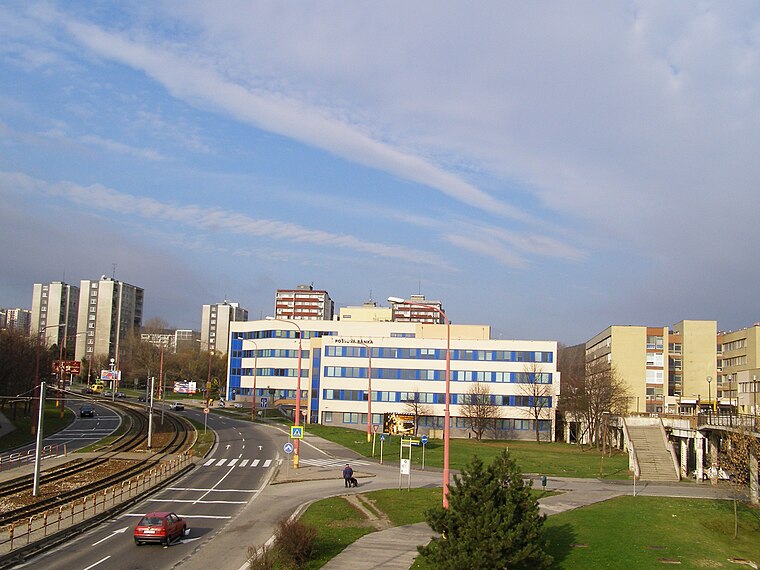
Photo: Kelovy, Public domain.
Karlova Ves is a borough in the city of Bratislava, the capital of Slovakia. It is located in the western part of the city close to the river Danube on the slopes of the Little Carpathians mountains and it is part of the Bratislava IV administrative district.

Jelení háj, štátna hranica
- Type: Sign
- Categories: information and tourism
- Location: Lower Austria, Austria, Central Europe, Europe
- View on OpenStreetMap
Latitude
48.14179° or 48° 8′ 31″ northLongitude
17.05758° or 17° 3′ 27″ eastElevation
138 metres (453 feet)Operator
KSTOpen location code
8FWV43R5+P2OpenStreetMap ID
node 286348048OpenStreetMap feature
tourism=information
This page is based on OpenStreetMap, Wikidata, and Wikimedia Commons.
We’d love your help improving our open data sources. Thank you for contributing.
Satellite Map
Discover Jelení háj, štátna hranica from above in high-definition satellite imagery.
Notable Places Nearby
Highlights include B-S 1 Štěrkoviště casemate and Vydrická pláž.
Nearby Places
Explore places such as Jelení Háj and II/15.
Lower Austria: Must-Visit Destinations
Delve into St. Pölten, Wiener Neustadt, Amstetten, and Klosterneuburg.
Curious Places to Discover
Uncover intriguing places from every corner of the globe.
About Mapcarta. Data © OpenStreetMap contributors and available under the Open Database License". Text is available under the CC BY-SA 4.0 license, except for photos, directions, and the map. Photo: Lonezor, CC BY-SA 3.0.