DynamieK
DynamieK is a convenience store in Kapelle Municipality, Zeeland which is located on Biezelingsestraat. DynamieK is situated nearby to Cypressenhof, as well as near the community center De Vroone.| Tap on a place to explore it |
- Email: dynamiek@dynamiekkapelle.nl
- Type: Convenience store
- Address: Biezelingsestraat 51, Kapelle, 4421BN
Places of Interest Nearby
Highlights include Kapelle-Biezelinge railway station and Onze-Lieve-Vrouwekerk.
Kapelle-Biezelinge railway station
Railway station

Photo: Bombardier, Public domain.
Kapelle-Biezelinge is a railway station located in Kapelle and near the housing area of Biezelinge, The Netherlands. The station was opened on 1 July 1868 and is located on the Roosendaal–Vlissingen railway. Kapelle-Biezelinge railway station is situated 360 metres southwest of DynamieK.
Onze-Lieve-Vrouwekerk
Church
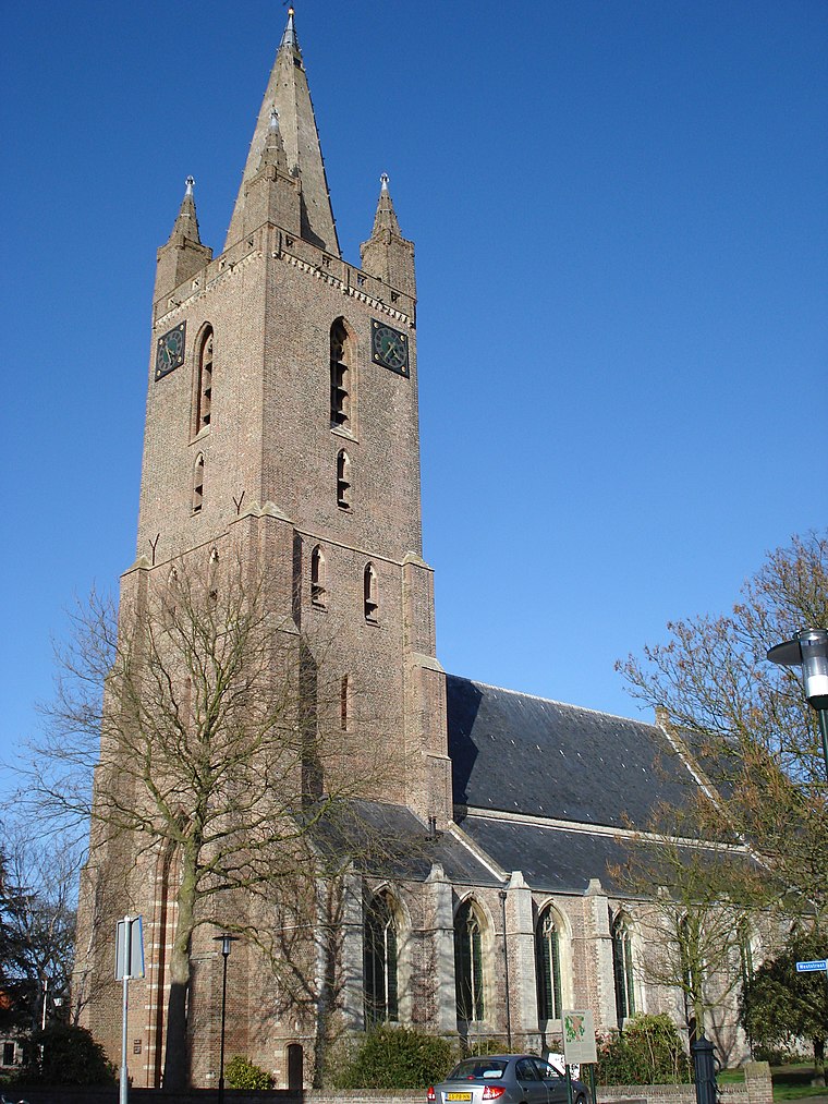
Photo: Havang(nl), CC0.
Onze-Lieve-Vrouwekerk is a church, which is situated 380 metres north of DynamieK.
Petrakerk
Church

Photo: Rubenf, CC BY-SA 3.0.
Petrakerk is a church, which is situated 1 km northwest of DynamieK.
Places in the Area
Nearby places include Kapelle and Biezelinge.
Kapelle
Village

Photo: Wikimedia, CC BY-SA 4.0.
Kapelle is a municipality and a town in the southwestern Netherlands on Zuid-Beveland. In 2023 the municipality's population amounts to 13,051.
Biezelinge
Village

Photo: Havang(nl), CC0.
Biezelinge is a neighbourhood of Kapelle and former village in the Dutch municipality of Kapelle. The village is separated from Kapelle by a railroad. The two villages share a train station.
Eversdijk
Hamlet
Eversdijk is a hamlet in the Dutch province of Zeeland. It is located in the municipality of Kapelle on the island of Zuid-Beveland. It was built in a typical circular style which is fairly common in south Beveland.
DynamieK
- Categories: shop and food
- Location: Kapelle Municipality, Zeeland, Southern Netherlands, Netherlands, Benelux, Europe
- View on OpenStreetMap
Latitude
51.48315° or 51° 28′ 59″ northLongitude
3.9596° or 3° 57′ 35″ eastOpen location code
9F35FXM5+7ROpenStreetMap ID
node 2880515602OpenStreetMap feature
shop=convenience
This page is based on OpenStreetMap, Wikidata, and Wikimedia Commons.
We’d love your help improving our open data sources. Thank you for contributing.
Satellite Map
Discover DynamieK from above in high-definition satellite imagery.
Notable Places Nearby
Highlights include Cypressenhof and De Vroone.
Nearby Places
Explore places such as AgriSneltank and Auto Toonder.
Zeeland: Must-Visit Destinations
Delve into Middelburg, Vlissingen, Terneuzen, and Goes.
Curious Convenience Stores to Discover
Uncover intriguing convenience stores from every corner of the globe.
About Mapcarta. Data © OpenStreetMap contributors and available under the Open Database License". Text is available under the CC BY-SA 4.0 license, except for photos, directions, and the map. Photo: WiDi, CC BY-SA 3.0.