Lu Muntiggjoni
Lu Muntiggjoni is a locality in Sardinia, Italy. Lu Muntiggjoni is situated nearby to the locality Lu Rotu Ecchju, as well as near La Marmorata - Malmurata.| Tap on a place to explore it |
Places of Interest
Highlights include La Marmorata and Isole Marmorata.

Scoglio della Colombaia
Islet

Photo: Carlo Pelagalli, CC BY-SA 3.0.
Scoglio della Colombaia is an islet, which is situated 3½ km east of Lu Muntiggjoni.
Places in the Area
Nearby places include Punta Falcone and Santa Teresa Gallura.
Punta Falcone
Locality

Photo: Discanto, CC BY-SA 3.0.
Punta Falcone is a locality, which is situated 2½ km north of Lu Muntiggjoni.
Santa Teresa Gallura

Photo: Pierre Bona, CC BY-SA 4.0.
Santa Teresa Gallura is a town at the northernmost tip of Sardinia. Its permanent population is around 5,000 people, but it grows enormously every summer with domestic and international tourists.
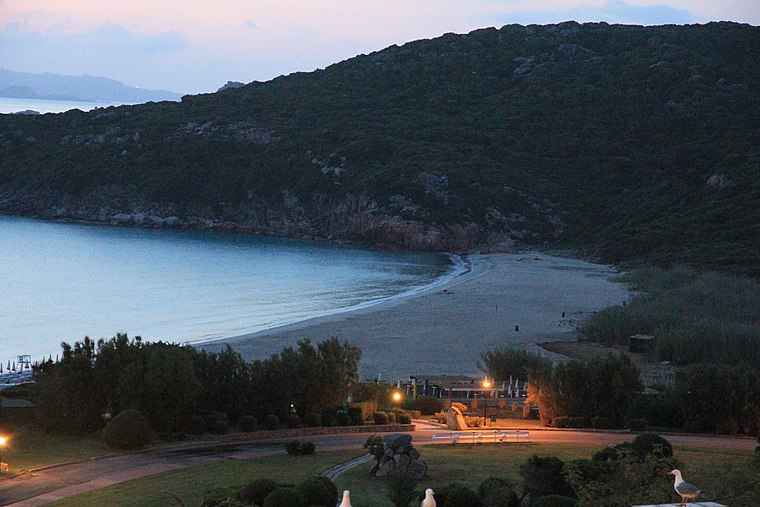
Porto Pozzo
Hamlet

Photo: Discanto, CC BY-SA 3.0.
Porto Pozzo is a hamlet, which is situated 5 km southeast of Lu Muntiggjoni.
Lu Muntiggjoni
- Type: Locality
- Location: Sardinia, Italy, Europe
- View on OpenStreetMap
Latitude
41.23293° or 41° 13′ 59″ northLongitude
9.23813° or 9° 14′ 17″ eastOpen location code
8FHF66MQ+57OpenStreetMap ID
node 2885154761OpenStreetMap feature
place=locality
This page is based on OpenStreetMap, Wikidata, and Wikimedia Commons.
We’d love your help improving our open data sources. Thank you for contributing.
Satellite Map
Discover Lu Muntiggjoni from above in high-definition satellite imagery.
Localities in the Area
Explore places such as Lu Rotu Ecchju and La Marmorata - Malmurata.
Notable Places Nearby
Highlights include Punta Campanile and La Marmoratina.
Sardinia: Must-Visit Destinations
Delve into Cagliari, Sassari, Alghero, and Nuoro.
Curious Localities to Discover
Uncover intriguing localities from every corner of the globe.
About Mapcarta. Data © OpenStreetMap contributors and available under the Open Database License". Text is available under the CC BY-SA 4.0 license, except for photos, directions, and the map. Photo: Mauromereu, CC BY-SA 3.0.