Belton Brickworks
Belton Brickworks is a locality in Belton, North Lincolnshire, England. Belton Brickworks is situated nearby to the village Church Town, as well as near Carrhouse.| Tap on a place to explore it |
Places of Interest
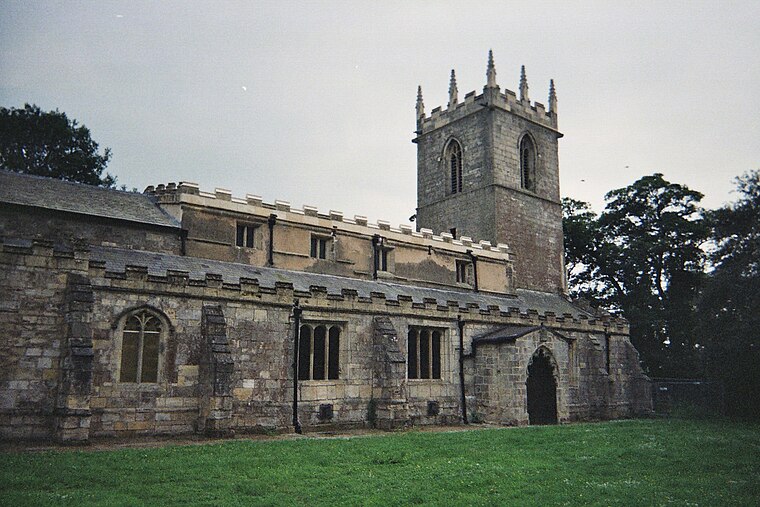
Highlights include Church of All Saints and Church of St Andrew.

Places in the Area
Nearby places include Bracon and Belton.
Bracon
Village
Bracon is a hamlet in North Lincolnshire, England. Bracon lies within the Isle of Axholme and the civil parish of Belton, a village to the north to which the hamlet is conjoined.
Belton
Village

Photo: Richard Croft, CC BY-SA 2.0.
Belton is a village and civil parish in the Isle of Axholme area of North Lincolnshire, England. It is situated on the A161 road, and approximately 6 miles west of Scunthorpe. To the north is Crowle and to the south is Epworth.
Epworth
Town

Photo: David Wright, CC BY-SA 2.0.
Epworth is a market town and civil parish on the Isle of Axholme, in the North Lincolnshire unitary authority of Lincolnshire, England. The town lies on the A161, about halfway between Goole and Gainsborough.
Belton Brickworks
- Type: Locality
- Location: Belton, North Lincolnshire, England, United Kingdom, Britain and Ireland, Europe
- View on OpenStreetMap
Latitude
53.54133° or 53° 32′ 29″ northLongitude
-0.81646° or 0° 48′ 59″ westOpen location code
9C5XG5RM+GCOpenStreetMap ID
node 2914381441OpenStreetMap feature
place=locality
This page is based on OpenStreetMap, Wikidata, and Wikimedia Commons.
We’d love your help improving our open data sources. Thank you for contributing.
Satellite Map
Discover Belton Brickworks from above in high-definition satellite imagery.
Localities in the Area
Explore places such as Church Town and Carrhouse.
Notable Places Nearby
Highlights include Collinson Cooper Hall and Church Farmhouse.
England: Must-Visit Destinations
Delve into London, Manchester, Sheffield, and Leeds.
Curious Localities to Discover
Uncover intriguing localities from every corner of the globe.
About Mapcarta. Data © OpenStreetMap contributors and available under the Open Database License". Text is available under the CC BY-SA 4.0 license, except for photos, directions, and the map. Photo: sidibousaid, CC BY 2.0.