Fran-Fer’s
Fran-Fer’s is a shoe store in Fuenlabrada, Madrid, Community of Madrid which is located on Calle de Sevilla. Fran-Fer’s is situated nearby to the library Biblioteca Pública Municipal Antonio Machado, as well as near the park Parque Teruel.| Tap on a place to explore it |
Places of Interest Nearby
Highlights include Centro de Arte Tomás y Valiente and Polideportivo Fernando Martín.
Centro de Arte Tomás y Valiente
Theater building

Photo: Lady Guanábana, CC BY-SA 4.0.
Centro de Arte Tomás y Valiente is a theater building, which is situated 510 metres east of Fran-Fer’s.
Polideportivo Fernando Martín
Stadium

Photo: Asturkian, CC BY-SA 3.0.
Pabellón Polideportivo Municipal Fernando Martin is an arena in Fuenlabrada, Madrid Province, Spain. Opened in September 1991, and named for the Spanish basketball player Fernando Martín Espina, the arena has a seating capacity for 5,700 people. Polideportivo Fernando Martín is situated 1 km south of Fran-Fer’s.
La Serna
Railway station
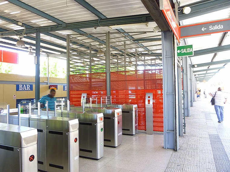 La Serna is a railway station, which is situated 680 metres northeast of Fran-Fer’s.
Places in the Area
Nearby places include Vereda de los Estudiantes and San Nicasio.
Vereda de los Estudiantes
Suburb

Photo: Malopez 21, CC BY-SA 4.0.
Vereda de los Estudiantes is a suburb, which is situated 4½ km northeast of Fran-Fer’s.
San Nicasio
Suburb

Photo: Chaluco, Public domain.
San Nicasio is a suburb, which is situated 5 km northeast of Fran-Fer’s.
Humanes de Madrid
Town
 Humanes de Madrid is a town and municipality of Spain, part of the Community of Madrid. As of 2019, it has a population of 19,743 inhabitants. Humanes de Madrid is situated 5 km southwest of Fran-Fer’s.
Fran-Fer’s
- Type: Shoe store
- Address: Calle de Sevilla 15, Fuenlabrada, 28941
- Category: shop
- Location: Fuenlabrada, Madrid, Community of Madrid, Central Spain, Spain, Iberia, Europe
- View on OpenStreetMap
Latitude
40.29185° or 40° 17′ 31″ northLongitude
-3.79737° or 3° 47′ 51″ westOpen location code
8CGR76R3+P3OpenStreetMap ID
node 2914517950OpenStreetMap feature
shop=shoes
This page is based on OpenStreetMap, Wikidata, and Wikimedia Commons.
We’d love your help improving our open data sources. Thank you for contributing.
Satellite Map
Discover Fran-Fer’s from above in high-definition satellite imagery.
Notable Places Nearby
Highlights include Biblioteca Pública Municipal Antonio Machado and Parque Teruel.
Nearby Places
Explore places such as Farmacia Sonia Rocha Romero and Alimentación y bazar.
Community of Madrid: Must-Visit Destinations
Delve into Madrid, Alcalá de Henares, Getafe, and Aranjuez.
Curious Shoe Stores to Discover
Uncover intriguing shoe stores from every corner of the globe.
About Mapcarta. Data © OpenStreetMap contributors and available under the Open Database License". Text is available under the CC BY-SA 4.0 license, except for photos, directions, and the map. Photo: Wikimedia, CC0.