Old Farmers‘ Arms
Old Farmers‘ Arms is a pub in Gotherington, Tewkesbury, England which is located on Evesham Road. Old Farmers‘ Arms is situated nearby to the health club Anytime Fitness, as well as near the motorhome stopover Long Furlong.| Tap on a place to explore it |
Places of Interest Nearby
Highlights include Gotherington railway station and The King’s Head.
Gotherington railway station
Railway station

Photo: Gwsralex, CC BY-SA 4.0.
Gotherington railway station is a railway station serving the village of Gotherington in Gloucestershire, England. The station is located just to the north of the village. Gotherington railway station is situated 1½ miles northeast of Old Farmers‘ Arms.
The King’s Head
Pub

Photo: John Matthews, CC BY-SA 2.0.
The King’s Head is a pub, which is situated 3,900 feet south of Old Farmers‘ Arms.
Cleeve School
School
Cleeve School is an academy school and a Leadership Partner School. It was formerly a comprehensive school and is located in the village of Bishop's Cleeve, Gloucestershire, England. Cleeve School is situated 1¼ miles southeast of Old Farmers‘ Arms.
Places in the Area
Nearby places include Bishop’s Cleeve and Woolstone.
Bishop’s Cleeve
Town
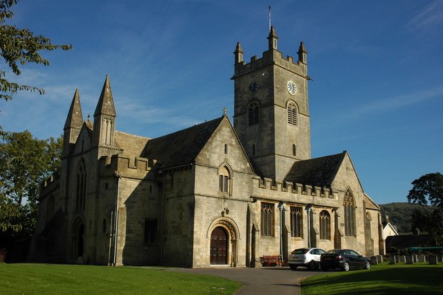
Photo: Philip Halling, CC BY-SA 2.0.
Bishop's Cleeve is a large village and civil parish in the Borough of Tewkesbury in the ceremonial county of Gloucestershire, England. The village lies at the foot of Cleeve Hill, the highest point in the Cotswolds.
Woolstone
Hamlet

Photo: Philip Halling, CC BY-SA 2.0.
Woolstone is a village and former civil parish now in the parish of Oxenton, in the Tewkesbury district, in the county of Gloucestershire, England. It is about 5 miles miles from the town of Cheltenham.
Wingmoor Farm Meadow
Locality

Photo: Bob Danylec, CC BY-SA 2.0.
Wingmoor Farm Meadow is a 3-hectare nature reserve in Gloucestershire. The site is listed in the ‘Tewkesbury Borough Local Plan to 2011’, adopted March 2006, Appendix 3 'Nature Conservation',' as a Key Wildlife Site.
Old Farmers‘ Arms
- Type: Pub
- Address: Evesham Road, Cheltenham, GL52 8SA
- Location: Gotherington, Tewkesbury, Gloucestershire, West Country, England, United Kingdom, Britain and Ireland, Europe
- View on OpenStreetMap
Latitude
51.95775° or 51° 57′ 28″ northLongitude
-2.06676° or 2° 4′ 0″ westOpen location code
9C3VXW5M+37OpenStreetMap ID
node 292439892OpenStreetMap feature
amenity=pub
This page is based on OpenStreetMap, Wikidata, and Wikimedia Commons.
We’d love your help improving our open data sources. Thank you for contributing.
Satellite Map
Discover Old Farmers‘ Arms from above in high-definition satellite imagery.
Notable Places Nearby
Highlights include Anytime Fitness and Long Furlong.
Nearby Places
Explore places such as Farmers‘ Arms and Cotswold Energy Performance.
Gloucestershire: Must-Visit Destinations
Delve into Gloucester, Cheltenham, Cirencester, and Yate.
Curious Pubs to Discover
Uncover intriguing pubs from every corner of the globe.
About Mapcarta. Data © OpenStreetMap contributors and available under the Open Database License". Text is available under the CC BY-SA 4.0 license, except for photos, directions, and the map. Photo: Matthew Hartley, CC BY-SA 2.0.