Perlinpin Pain
Perlinpin Pain is a restaurant in Verviers, Liège, Wallonia which is located on Chaussée de Theux. Perlinpin Pain is situated nearby to the church Église Saint-Hubert, as well as near the village Heusy.| Tap on a place to explore it |
- Type: Restaurant
- Cuisine: regional and sandwich
- Address: Chaussée de Theux 61, Heusy, Verviers, 4802
Places of Interest Nearby
Highlights include CHR Verviers and Parc de la Tourelle.
CHR Verviers
Hospital

Photo: Wikimedia, CC BY-SA 4.0.
CHR Verviers is a hospital, which is situated 640 metres northwest of Perlinpin Pain.
Parc de la Tourelle
Park

Photo: CrucialFriend, CC0.
Parc de la Tourelle is a park, which is situated 770 metres northwest of Perlinpin Pain.
Verviers-Central railway station
Railway station

Photo: Wikimedia, Public domain.
Verviers-Central railway station is a railway station in Verviers, Liège, Belgium. The station opened on 1 February 1930 and is located on railway line 37. The train services are operated by the National Railway Company of Belgium. Verviers-Central railway station is situated 1¼ km northwest of Perlinpin Pain.
Places in the Area
Nearby places include Heusy and Ensival.

Ensival
Village

Photo: Sonuwe, CC BY-SA 3.0.
Ensival is a town of Wallonia and a district of the municipality of Verviers, located in the province of Liège, Belgium. Before the merging of the Belgian municipalities in 1977, it was a municipality of its own.
Perlinpin Pain
- Category: food
- Location: Verviers, Arrondissement of Verviers, Liège, Wallonia, Belgium, Benelux, Europe
- View on OpenStreetMap
Latitude
50.57805° or 50° 34′ 41″ northLongitude
5.86564° or 5° 51′ 56″ eastOpen location code
9F27HVH8+67OpenStreetMap ID
node 2927518245OpenStreetMap feature
amenity=restaurantOpenStreetMap attribute
cuisine=regionalOpenStreetMap attribute
cuisine=sandwich
This page is based on OpenStreetMap, Wikidata, and Wikimedia Commons.
We’d love your help improving our open data sources. Thank you for contributing.
Satellite Map
Discover Perlinpin Pain from above in high-definition satellite imagery.
Notable Places Nearby
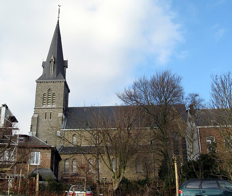
Highlights include Église Saint-Hubert and Fontaine d’Ôzy.
Nearby Places
Explore places such as Heusy Place A. Deru and Boulangerie Pâtisserie Remacle.
Curious Restaurants to Discover
Uncover intriguing restaurants from every corner of the globe.
About Mapcarta. Data © OpenStreetMap contributors and available under the Open Database License". Text is available under the CC BY-SA 4.0 license, except for photos, directions, and the map. Photo: EmDee, CC BY-SA 3.0.