AlAgriPet
AlAgriPet is a pet store in Dumaguete, Negros Oriental, Central Visayas, Davao Region. AlAgriPet is situated nearby to the shopping center Cang’s Inc. Shopping Complex, as well as near the fire station Daro Fire Sub-Station.| Tap on a place to explore it |
Places of Interest Nearby
Highlights include Dumaguete–Sibulan Airport and Silliman Hall.
Dumaguete–Sibulan Airport
Aerodrome
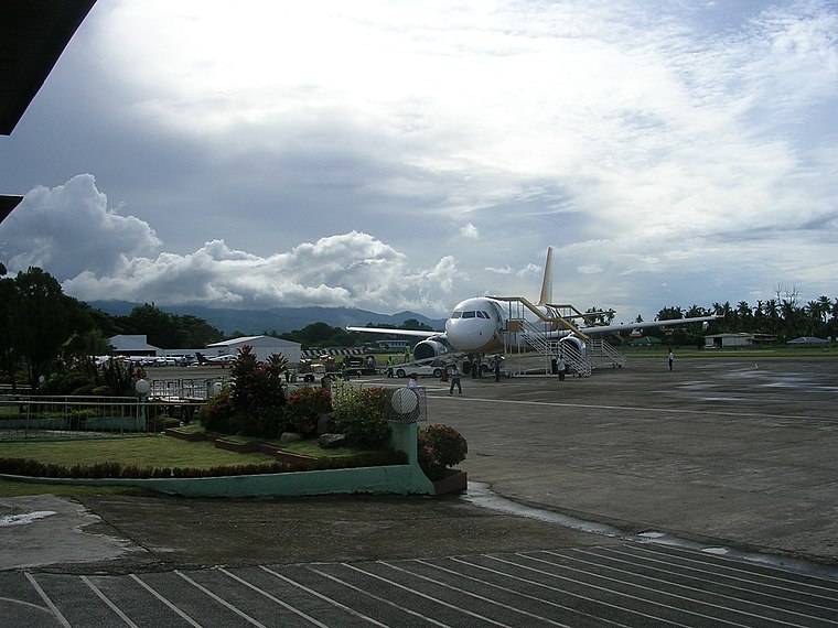
Photo: Leo VI, CC BY-SA 3.0.
Sibulan Airport, also known as Dumaguete Airport or Dumaguete–Sibulan Airport, is an airport serving the general area of the city of Dumaguete, located in the province of Negros Oriental in the Philippines.
Silliman Hall
Historic building

Photo: AndreoBongco, CC BY-SA 3.0.
The Silliman Hall is a building constructed in the Stick Style of American architecture in Dumaguete, Negros Oriental, Philippines. It was built in the early 1900s. It was converted to a museum in 1970. It is located in Dumaguete, Negros Oriental, Philippines. Silliman Hall is situated 1 km southeast of AlAgriPet.
Negros Oriental State University historical marker
Memorial

Photo: Seav, CC BY-SA 4.0.
Negros Oriental State University historical marker is a memorial, which is situated 550 metres southeast of AlAgriPet.
Places in the Area
Nearby places include Sibulan and Valencia.
Sibulan
Town
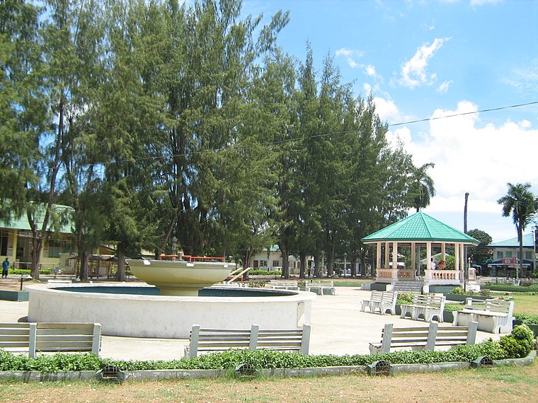
Photo: TheCoffee, CC BY-SA 3.0.
Sibulan, officially the Municipality of Sibulan, is a municipality in the province of Negros Oriental, Philippines. According to the 2020 census, it has a population of 64,343 people. Sibulan is situated 5 km north of AlAgriPet.
Valencia
Town

Photo: TheCoffee, Public domain.
Valencia, officially the Municipality of Valencia, is a municipality in the province of Negros Oriental, Philippines. According to the 2020 census, it has a population of 38,733 people. Valencia is situated 7 km southwest of AlAgriPet.
Bacong
Town
 Bacong, officially the Municipality of Bacong, is a municipality in the province of Negros Oriental, Philippines. According to the 2020 census, it has a population of 41,207 people. Bacong is situated 8 km south of AlAgriPet.
AlAgriPet
- Type: Pet store
- Category: shop
- Location: Dumaguete, Negros Oriental, Central Visayas, Visayas, Municipality of Santo Tomas, Davao del Norte, Davao Region, Mindanao, Philippines, Southeast Asia, Asia
- View on OpenStreetMap
Latitude
9.31719° or 9° 19′ 2″ northLongitude
123.30147° or 123° 18′ 5″ eastOpen location code
6QX58882+VHOpenStreetMap ID
node 2934976051OpenStreetMap feature
shop=pet
This page is based on OpenStreetMap, Wikidata, and Wikimedia Commons.
We’d love your help improving our open data sources. Thank you for contributing.
Satellite Map
Discover AlAgriPet from above in high-definition satellite imagery.
Notable Places Nearby
Highlights include Cang’s Inc. Shopping Complex and Daro Fire Sub-Station.
Nearby Places
Explore places such as PremiumBikes and Jasmin’s Flower Shop.
Negros Oriental: Must-Visit Destinations
Delve into Bayawan, Bais, Guihulngan, and Mabinay.
Curious Pet Stores to Discover
Uncover intriguing pet stores from every corner of the globe.
About Mapcarta. Data © OpenStreetMap contributors and available under the Open Database License". Text is available under the CC BY-SA 4.0 license, except for photos, directions, and the map. Photo: MarionPaulBaylado, CC BY-SA 3.0.