Koło Cerkwi
Koło Cerkwi is a hamlet in Gmina Wiśniowa, Strzyżów County, Podkarpackie. Koło Cerkwi is situated nearby to the hamlet Dół, as well as near the village Oparówka.| Tap on a place to explore it |
Places of Interest
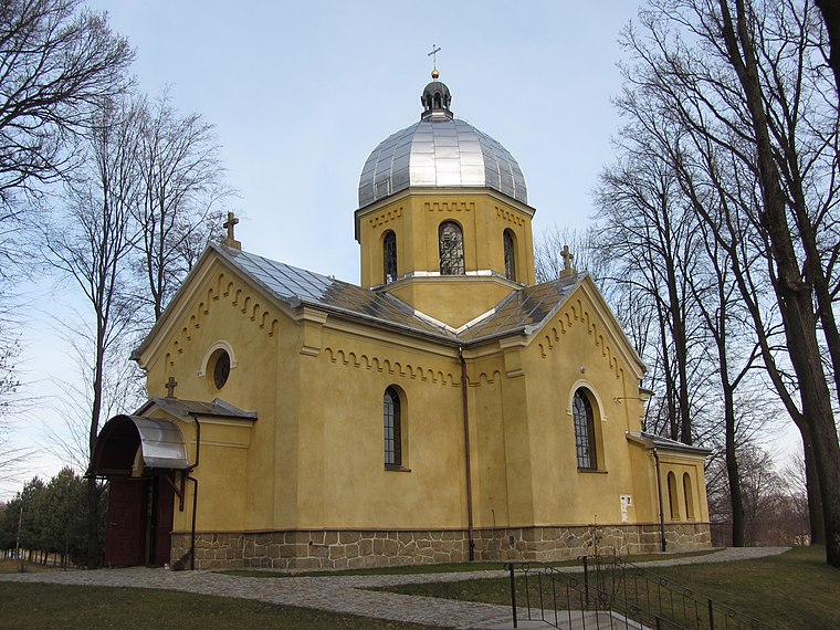
Highlights include Church of the Nativity of the Virgin Mary in Oparówka and Czarnorzeki-Strzyżów Landscape Park.
Czarnorzeki-Strzyżów Landscape Park
Nature reserve

Photo: Dziemal, CC BY-SA 3.0.
Czarnorzeki-Strzyżów Landscape Park is a protected area in south-eastern Poland, established in 1993, covering an area of 257.84 square kilometres. The Park lies within Podkarpackie Voivodeship: in Brzozów County, Dębica County, Krosno County and Strzyżów County.
Places in the Area
Nearby places include Wysoka Strzyżowska and Strzyżów.
Wysoka Strzyżowska
Village

Photo: Henryk Bielamowicz, CC BY-SA 4.0.
Wysoka Strzyżowska is the largest village in the administrative district of Gmina Strzyżów, within Strzyżów County, Subcarpathian Voivodeship, in south-eastern Poland.
Strzyżów
Town
 Strzyżów is a town in Strzyżów County, Subcarpathian Voivodeship, Poland, along the Wisłok river valley. Strzyżów is one of the towns within the Strzyżowsko-Dynowskie Foothill, located 160 kilometres south-east of Kraków and 30 km from Rzeszów. Strzyżów is situated 6 km northeast of Koło Cerkwi.
Tułkowice
Village
Tułkowice is a village in the administrative district of Gmina Wiśniowa, within Strzyżów County, Subcarpathian Voivodeship, in south-eastern Poland. It lies approximately 7 km west of Strzyżów and 29 km south-west of the regional capital Rzeszów. Tułkowice is situated 6 km north of Koło Cerkwi.
Koło Cerkwi
- Type: Hamlet
- Category: locality
- Location: Gmina Wiśniowa, Strzyżów County, Podkarpackie, Poland, Central Europe, Europe
- View on OpenStreetMap
Latitude
49.83493° or 49° 50′ 6″ northLongitude
21.7172° or 21° 43′ 2″ eastOpen location code
8GX3RPM8+XVOpenStreetMap ID
node 3009717611OpenStreetMap feature
place=hamlet
This page is based on OpenStreetMap, Wikidata, and Wikimedia Commons.
We’d love your help improving our open data sources. Thank you for contributing.
Satellite Map
Discover Koło Cerkwi from above in high-definition satellite imagery.
Places with the Same Name
Discover other places named “Koło Cerkwi”.
Localities in the Area
Explore places such as Dół and Oparówka.
Notable Places Nearby
Highlights include Ochotnicza Straż Pożarna w Oparówce and Cmentarz parafialny w Oparówce.
Podkarpackie: Must-Visit Destinations
Delve into Rzeszów, Tarnobrzeg, Przemyśl, and Sanok.
Curious Hamlets to Discover
Uncover intriguing hamlets from every corner of the globe.
About Mapcarta. Data © OpenStreetMap contributors and available under the Open Database License". Text is available under the CC BY-SA 4.0 license, except for photos, directions, and the map. Photo: Sicherlich, CC BY 3.0.