Pod Lipowicą
Pod Lipowicą is a hamlet in Podkarpackie, Poland. Pod Lipowicą is situated nearby to the hamlet Debry, as well as near the neighborhood Aszczycówka.| Tap on a place to explore it |
Places of Interest
Highlights include Fort GW IX ‘Brunner’ and Fort IXa.


Places in the Area
Nearby places include Łętownia and Ujkowice.
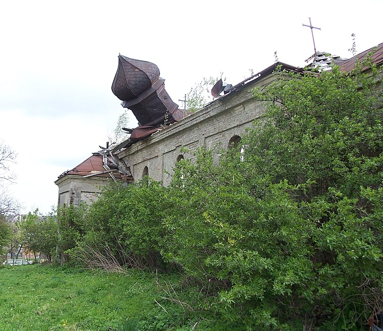
Łętownia
Village

Photo: CLI, CC BY-SA 3.0 pl.
Łętownia is a village in the administrative district of Gmina Przemyśl, within Przemyśl County, Subcarpathian Voivodeship, in south-eastern Poland, close to the border with Ukraine.
Bażantarnia
Hamlet
Bażantarnia is a village in the administrative district of Gmina Żurawica, within Przemyśl County, Subcarpathian Voivodeship, in south-eastern Poland. Bażantarnia is situated 3 km northeast of Pod Lipowicą.
Pod Lipowicą
- Type: Hamlet
- Category: locality
- Location: Podkarpackie, Poland, Central Europe, Europe
- View on OpenStreetMap
Latitude
49.82167° or 49° 49′ 18″ northLongitude
22.72806° or 22° 43′ 41″ eastOpen location code
8GX4RPCH+M6OpenStreetMap ID
node 3009738308OpenStreetMap feature
place=hamlet
This page is based on OpenStreetMap, Wikidata, and Wikimedia Commons.
We’d love your help improving our open data sources. Thank you for contributing.
Satellite Map
Discover Pod Lipowicą from above in high-definition satellite imagery.
Localities in the Area
Explore places such as Debry and Aszczycówka.
Notable Places Nearby
Highlights include Fort VIIa ‘Aszczycówka’ (‘Leśniczówka Łętownia’) and Park linowy Fort IX Brunner.
Podkarpackie: Must-Visit Destinations
Delve into Rzeszów, Tarnobrzeg, Przemyśl, and Sanok.
Curious Hamlets to Discover
Uncover intriguing hamlets from every corner of the globe.
About Mapcarta. Data © OpenStreetMap contributors and available under the Open Database License". Text is available under the CC BY-SA 4.0 license, except for photos, directions, and the map. Photo: Sicherlich, CC BY 3.0.