Toma de agua de Riaño
Toma de agua de Riaño is a spring in Riaño, Leon, Castile and León. Toma de agua de Riaño is situated nearby to the mountain saddle Collada Lechugal, as well as near the peak Pico Pandial.| Tap on a place to explore it |
Places in the Area
Nearby places include Vegacerneja and Burón.
Vegacerneja
Hamlet

Photo: Totemkin, CC BY-SA 3.0.
Vegacerneja is a hamlet, which is situated 3½ km west of Toma de agua de Riaño.
Burón
Village

Photo: Dieguipedia, CC BY-SA 4.0.
Burón is a municipality located in the province of León, Castile and León, Spain. According to the 2010 census, the municipality has a population of 358 inhabitants. Burón is situated 6 km west of Toma de agua de Riaño.
Boca de Huérgano
Village
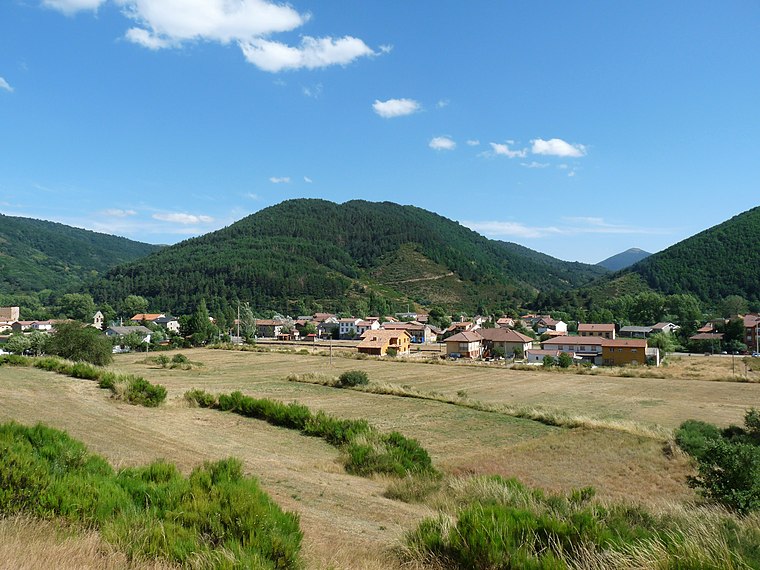
Photo: Asqueladd, CC BY-SA 3.0.
Boca de Huérgano is a village and municipality located in the Montaña Leonesa of province of León, Castile and León, Spain. According to the 2010 census, the municipality has a population of 531 inhabitants. Boca de Huérgano is situated 7 km southeast of Toma de agua de Riaño.
Toma de agua de Riaño
- Type: Spring
- Category: body of water
- Location: Riaño, Leon, Castile and León, Central Spain, Spain, Iberia, Europe
- View on OpenStreetMap
Latitude
43.02459° or 43° 1′ 29″ northLongitude
-4.97159° or 4° 58′ 18″ westOpen location code
8CMQ22FH+R9OpenStreetMap ID
node 3065275785OpenStreetMap feature
natural=spring
This page is based on OpenStreetMap, Wikidata, and Wikimedia Commons.
We’d love your help improving our open data sources. Thank you for contributing.
Satellite Map
Discover Toma de agua de Riaño from above in high-definition satellite imagery.
Notable Places Nearby
Highlights include Collada Lechugal and Pico Pandial.
Nearby Places
Explore places such as Área recreativa de Los Casares and Área Recreativa Molino Sutiello.
Castile and León: Must-Visit Destinations
Delve into Valladolid, Salamanca, Segovia, and León.
Curious Springs to Discover
Uncover intriguing springs from every corner of the globe.
About Mapcarta. Data © OpenStreetMap contributors and available under the Open Database License". Text is available under the CC BY-SA 4.0 license, except for photos, directions, and the map. Photo: Rubén Ojeda, CC BY-SA 3.0.