Las Canteronas - café tapas
Las Canteronas - café tapas is a café in Asturias, Green Spain. Las Canteronas - café tapas is situated nearby to the work of art Al roble, as well as near the sports venue Polideportivo de Vallobín.| Tap on a place to explore it |
Places of Interest Nearby
Highlights include Al roble and Estadio Carlos Tartiere.

Estadio Carlos Tartiere
Stadium
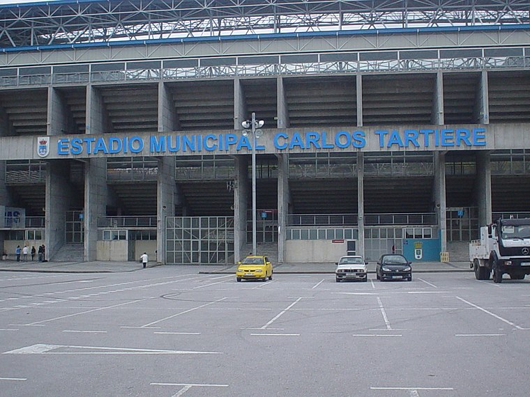
Photo: Rsg, CC BY-SA 2.5 es.
Estadio Municipal Carlos Tartiere is a multi-use stadium in Oviedo, Spain. With a capacity of 30,500 seats, it is the 17th-largest stadium in Spain and the largest in Asturias. Estadio Carlos Tartiere is situated 1 km south of Las Canteronas - café tapas.
Santa María del Naranco
Church

Photo: Fernando, CC BY-SA 4.0.
The church of Saint Mary at Mount Naranco is a pre-Romanesque Asturian building on the slope of Mount Naranco situated 3 kilometres from Oviedo, northern Spain. Santa María del Naranco is situated 1¼ km north of Las Canteronas - café tapas.
Places in the Area
Nearby places include Buenavista and Llano.

Llano
Hamlet

Photo: YoaR, CC BY-SA 4.0.
Llano is a hamlet, which is situated 2½ km northwest of Las Canteronas - café tapas.
El Bosque
Hamlet

Photo: Omarete, CC BY-SA 4.0.
El Bosque is a hamlet, which is situated 4 km southeast of Las Canteronas - café tapas.
Las Canteronas - café tapas
- Type: Café
- Address: Oviedo/Uviéu
- Location: Asturias, Green Spain, Spain, Iberia, Europe
- View on OpenStreetMap
Latitude
43.36869° or 43° 22′ 7″ northLongitude
-5.86747° or 5° 52′ 3″ westOpen location code
8CMP949M+F2OpenStreetMap ID
node 3074711870OpenStreetMap feature
amenity=cafe
This page is based on OpenStreetMap, Wikidata, and Wikimedia Commons.
We’d love your help improving our open data sources. Thank you for contributing.
Satellite Map
Discover Las Canteronas - café tapas from above in high-definition satellite imagery.
Notable Places Nearby
Highlights include Polideportivo de Vallobín and Parroquia de San Melchor.
Nearby Places
Explore places such as Palmas Palmitas – Ropa infantil and Mapfre.
Asturias: Must-Visit Destinations
Delve into Gijón, Villaviciosa, Grado, and Salas.
Curious Cafés to Discover
Uncover intriguing cafés from every corner of the globe.
About Mapcarta. Data © OpenStreetMap contributors and available under the Open Database License". Text is available under the CC BY-SA 4.0 license, except for photos, directions, and the map. Photo: MickStephenson, CC BY-SA 3.0.