Erpel (Rhein)
Erpel (Rhein) is a railway stop in Erpel, Neuwied, Rhineland-Palatinate. Erpel (Rhein) is situated nearby to the community center Gemeindesaal, as well as near the library Kath. Pfarrbücherei.| Tap on a place to explore it |
Places of Interest Nearby
Highlights include Rathaus Erpel and St. Severinus (Erpel).
Rathaus Erpel
Town hall

Photo: Der Wolf im Wald, CC BY-SA 2.5.
Rathaus Erpel is a town hall, which is situated 220 metres west of Erpel (Rhein).
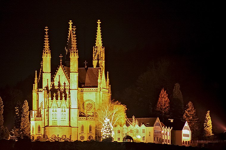
St. Severinus (Erpel)
Church

Photo: Tohma, CC BY-SA 3.0.
St. Severinus (Erpel) is a church, which is situated 210 metres west of Erpel (Rhein).

Places in the Area
Nearby places include Remagen and Orsberg.
Remagen
 Remagen is a small town in Rhineland Palatinate which was propelled to world fame during World War II when a railway bridge the Wehrmacht had only managed to partially destroy fell into American hands and allowed the Western Allies to cross the Rhine into the German heartland.

Ockenfels
Village

Photo: Tohma, CC BY-SA 4.0.
Ockenfels is a municipality in the district of Neuwied, in Rhineland-Palatinate, Germany. Ockenfels lies in the Rhine-Westerwald Nature Park in the North of Rhineland-Palatinate. The municipality was founded in 13th century.
Erpel (Rhein)
- Type: Railway stop
- Wheelchair access: no
- Categories: transport stop and transportation
- Location: Erpel, Neuwied, Rhineland-Palatinate, Germany, Central Europe, Europe
- View on OpenStreetMap
Latitude
50.58255° or 50° 34′ 57″ northLongitude
7.2407° or 7° 14′ 27″ eastOpen location code
9F29H6MR+27OpenStreetMap ID
node 31172889OpenStreetMap feature
public_transport=stop_positionOpenStreetMap feature
railway=stopOpenStreetMap attribute
wheelchair=no
This page is based on OpenStreetMap, Wikidata, and Wikimedia Commons.
We’d love your help improving our open data sources. Thank you for contributing.
Satellite Map
Discover Erpel (Rhein) from above in high-definition satellite imagery.
Notable Places Nearby
Highlights include Gemeindesaal and Kath. Pfarrbücherei.
Nearby Places
Explore places such as Erpel (Rhein) and Hausarztpraxis Erpel.
Rhineland-Palatinate: Must-Visit Destinations
Delve into Mainz, Trier, Koblenz, and Worms.
Curious Railway Stops to Discover
Uncover intriguing railway stops from every corner of the globe.
About Mapcarta. Data © OpenStreetMap contributors and available under the Open Database License". Text is available under the CC BY-SA 4.0 license, except for photos, directions, and the map. Photo: Traveler100, CC BY-SA 3.0.