Blackcliffe Hill
Blackcliffe Hill is a locality in Plumtree, Rushcliffe, England. Blackcliffe Hill is situated nearby to the neighborhood Plumtree Park, as well as near the village Keyworth.| Tap on a place to explore it |
Places of Interest
Highlights include Church of St Mary Magdalene, Keyworth and Church of St Mary the Virgin, Plumtree.
Church of St Mary Magdalene, Keyworth
Church

Photo: Tim Heaton, CC BY-SA 2.0.
The Church of St. Mary Magdalene is a Grade-I listed church located in Keyworth, Nottinghamshire, England.
Church of St Mary the Virgin, Plumtree
Church

Photo: Ralph Mills, CC BY-SA 2.0.
The Church of St Mary the Virgin, Plumtree is a parish church in the Church of England in Plumtree, Nottinghamshire. The church is Grade II listed by the Department for Digital, Culture, Media and Sport as it is a building of special architectural or historic interest.
Rushcliffe Country Park
Park
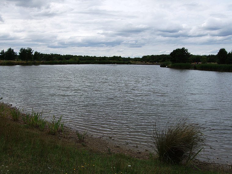
Photo: Ruddred0, CC BY-SA 3.0.
Rushcliffe Country Park is an open park space covering approximately 210 acres, located on Mere Way just south of Ruddington in the borough of Rushcliffe, Nottinghamshire, England. Rushcliffe Country Park is situated 2 miles west of Blackcliffe Hill.
Places in the Area
Nearby places include Plumtree and Keyworth.
Plumtree
Village
Plumtree is a village and civil parish in the borough of Rushcliffe, Nottinghamshire. At the time of the 2001 census it had a population of 221, increasing to 246 at the 2011 census, and 259 at the 2021 census.
Keyworth
Village
Keyworth is a large village and civil parish of Nottinghamshire, England. It is located about 6 miles southeast of the centre of Nottingham. It sits on a small, broad hilltop about 200 feet above sea level which is set in the wider undulating boulder clay that characterises the area south of Nottingham.
Bradmore
Village

Photo: Rpriv2000, CC BY-SA 3.0.
Bradmore is a village and civil parish in the Rushcliffe district of Nottinghamshire with a population in 2001 of 320, rising slightly to 328 at the 2011 census and falling to 298 at the 2021 census.
Blackcliffe Hill
- Type: Locality
- Location: Plumtree, Rushcliffe, Nottinghamshire, East Midlands, England, United Kingdom, Britain and Ireland, Europe
- View on OpenStreetMap
Latitude
52.8816° or 52° 52′ 54″ northLongitude
-1.10552° or 1° 6′ 20″ westOpen location code
9C4WVVJV+JQOpenStreetMap ID
node 3120391690OpenStreetMap feature
place=locality
This page is based on OpenStreetMap, Wikidata, and Wikimedia Commons.
We’d love your help improving our open data sources. Thank you for contributing.
Satellite Map
Discover Blackcliffe Hill from above in high-definition satellite imagery.
Localities in the Area
Explore places such as Plumtree Park and Tollerton.
Notable Places Nearby
Highlights include Cotton’s Plantation and Crossdale Primary School.
Nottinghamshire: Must-Visit Destinations
Delve into Nottingham, Mansfield, Newark-on-Trent, and Worksop.
Curious Localities to Discover
Uncover intriguing localities from every corner of the globe.
About Mapcarta. Data © OpenStreetMap contributors and available under the Open Database License". Text is available under the CC BY-SA 4.0 license, except for photos, directions, and the map. Photo: Wikimedia, CC0.